고정 헤더 영역
상세 컨텐츠
본문
반응형
Golden Gate National Recreation Area
.
Golden Gate National Recreation Area was established by Congress in 1972 to offer a national park experience to a diverse urban population, while preserving and interpreting the park's outstanding natural, historic, scenic, and recreational values.
.
One of the largest urban parks in the world, GGNRA welcomes over 17 million visitors a year. The park is as diverse as it is expansive; it contains attractions such as Alcatraz Island, Crissy Field, the Marin Headlands and Rancho Corral de Tierra. GGNRA also includes significant historical and natural resources and houses the largest museum collection in the National Park Service. Over half of North American avian species and nearly one third of California's plant species are found in the park.
.
The park's natural resources and cultural history are unique within the National Park System. Learn more about what makes GGNRA special.
.
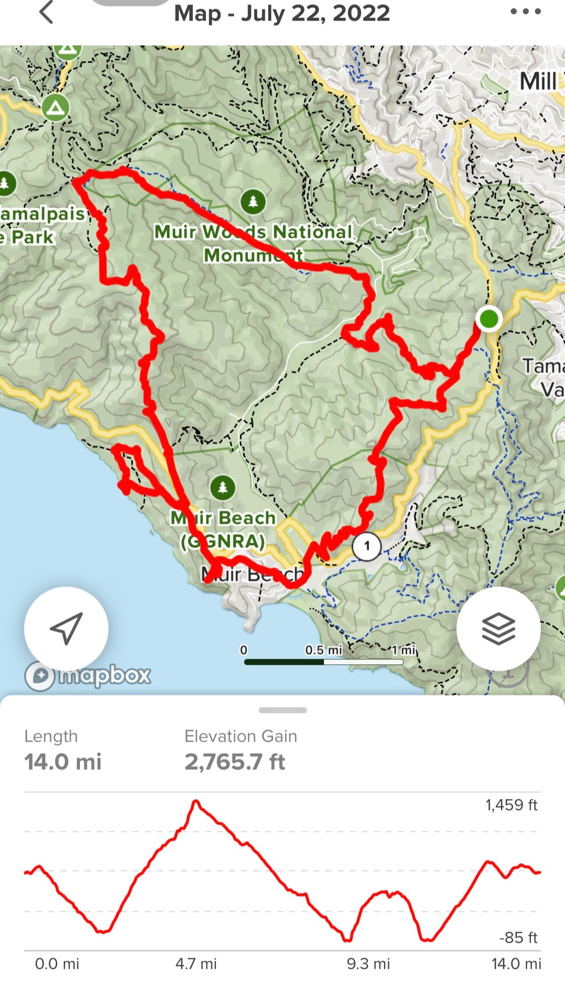
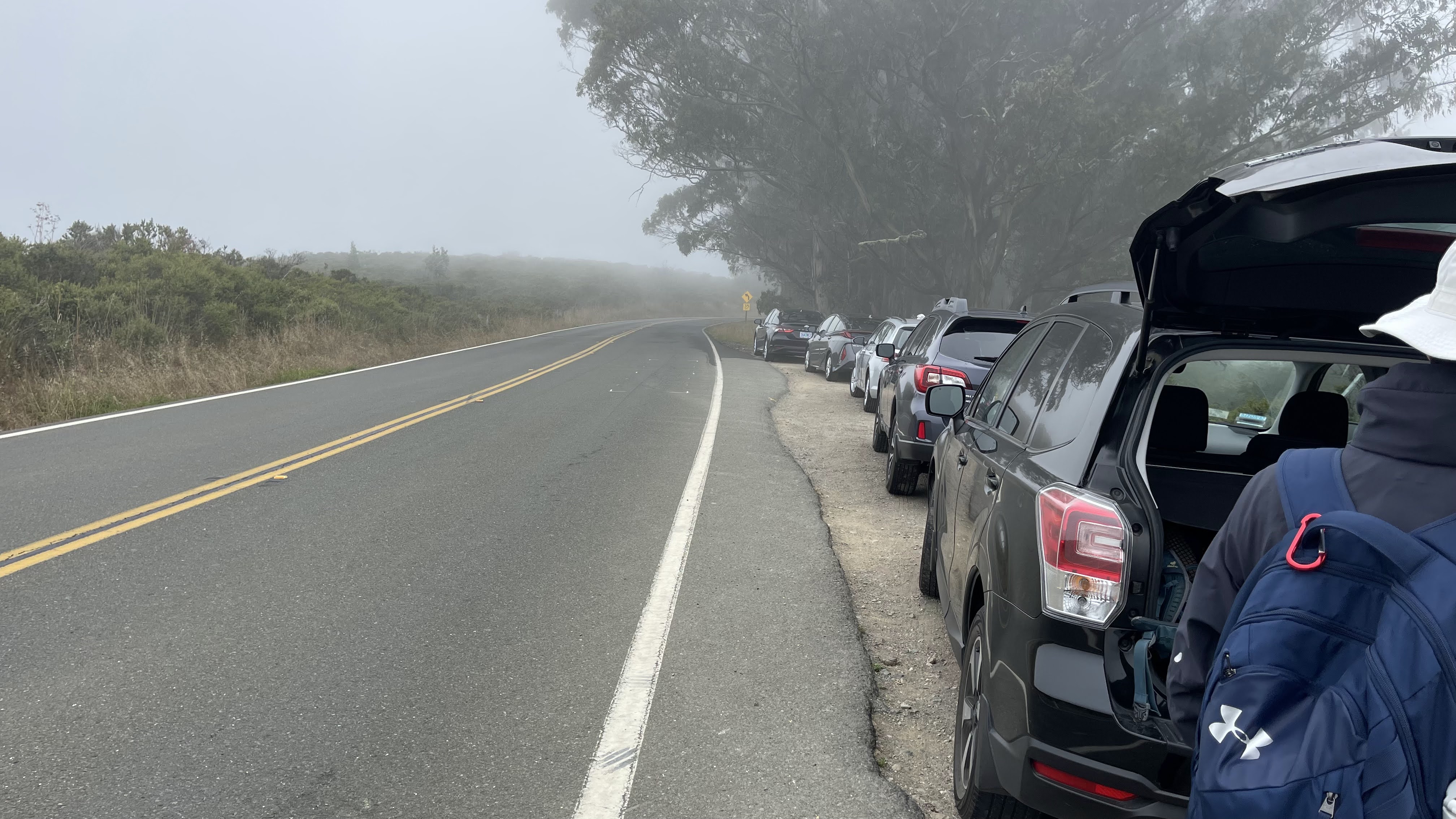
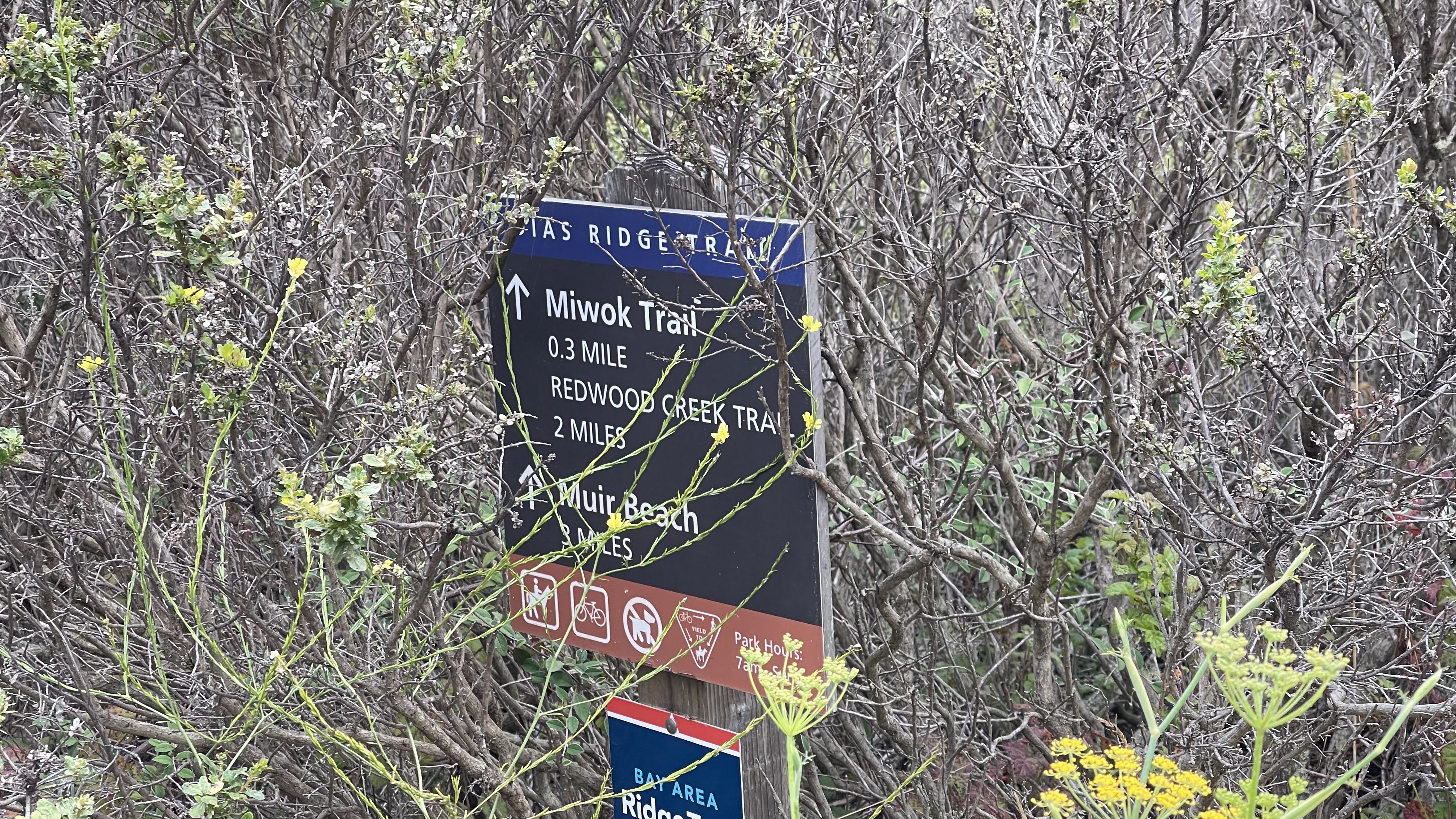
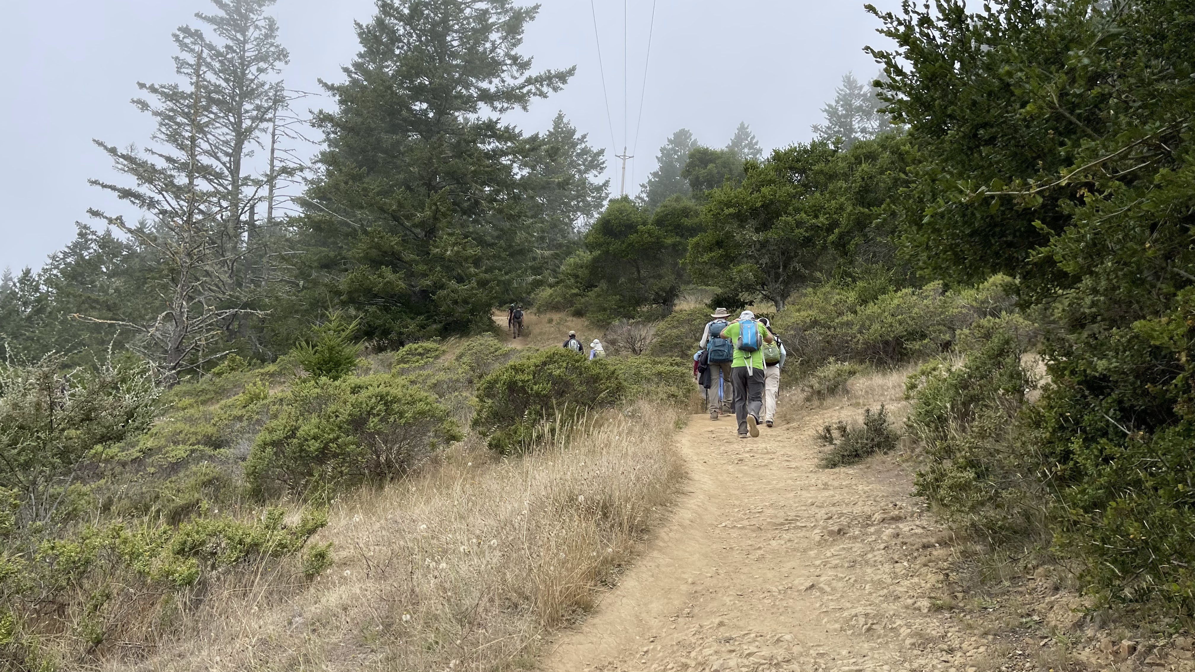
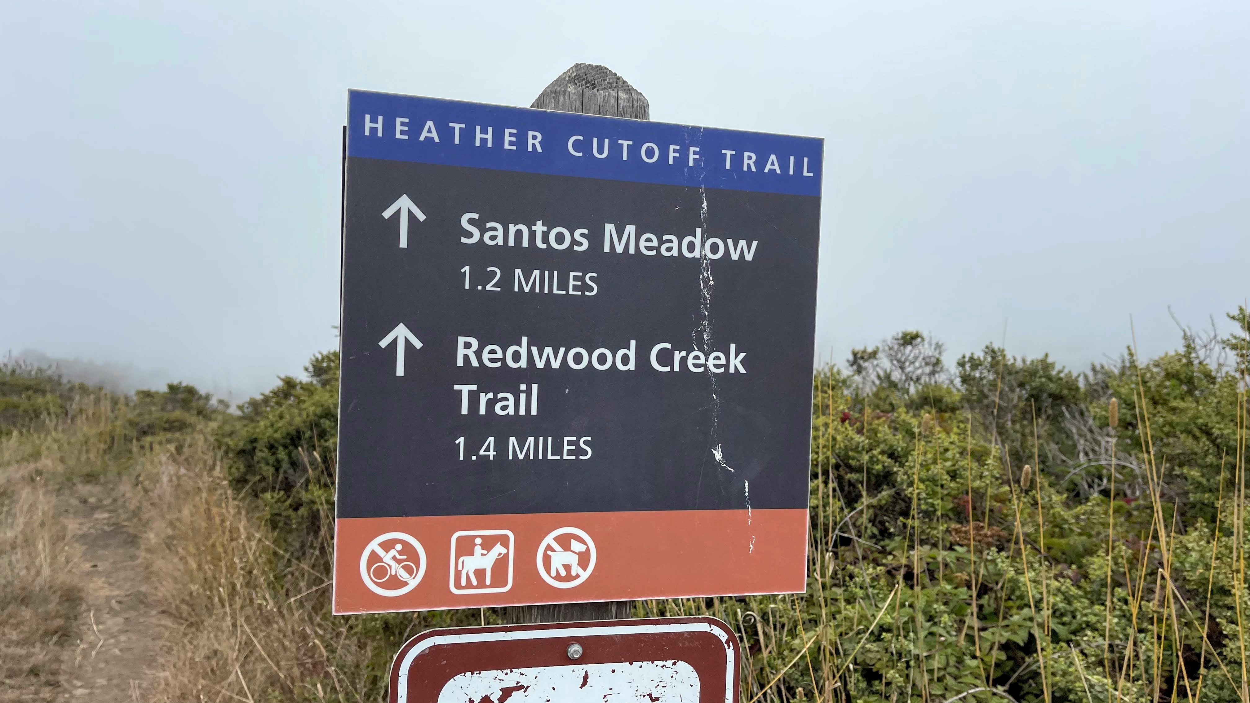
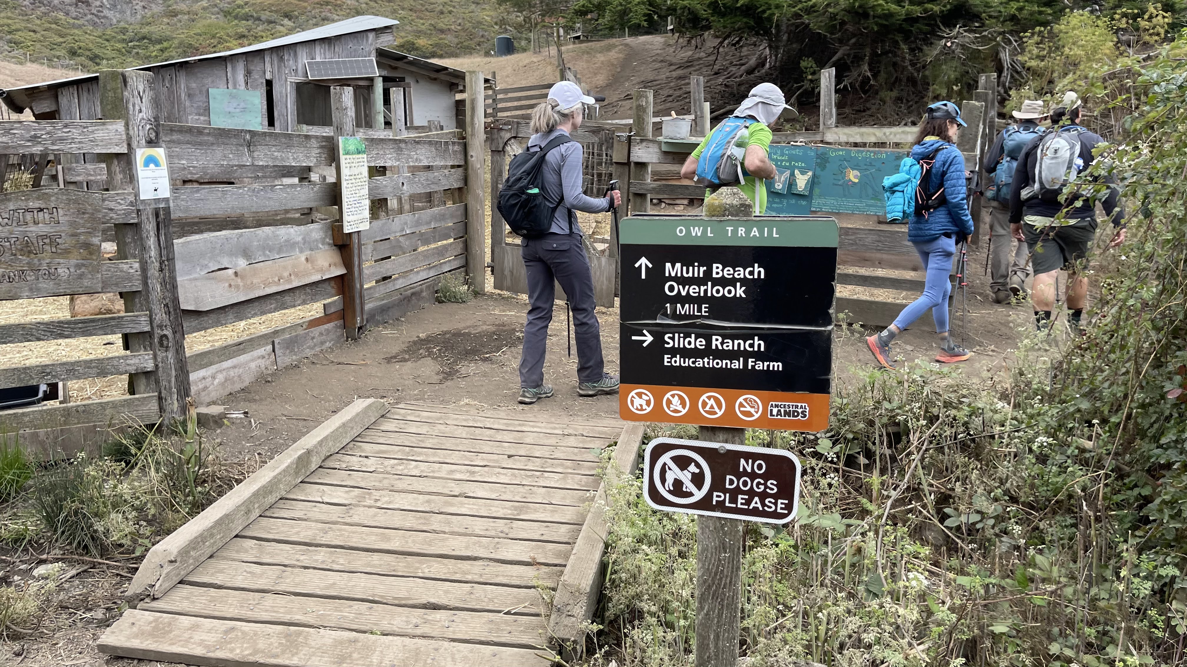
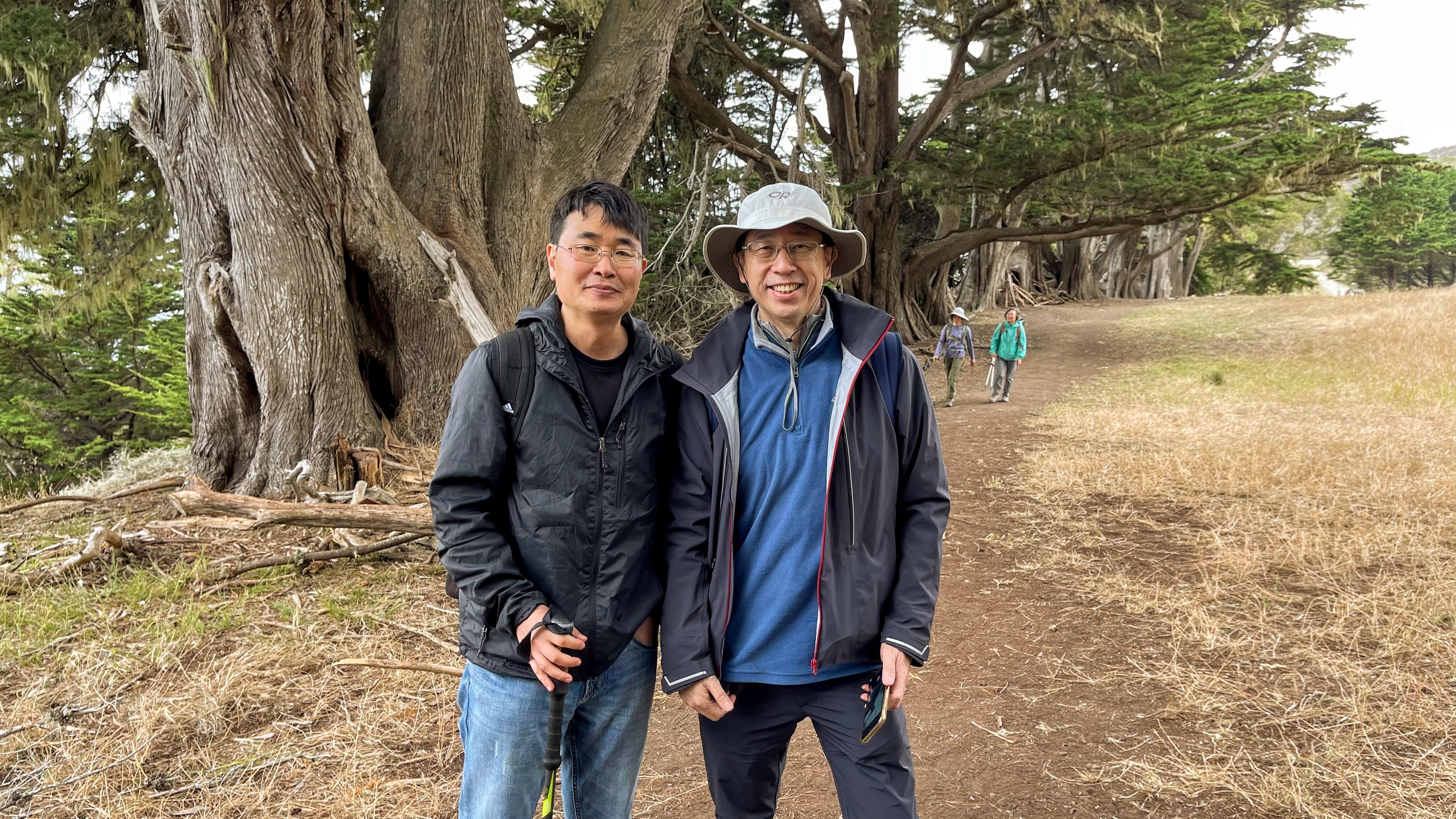
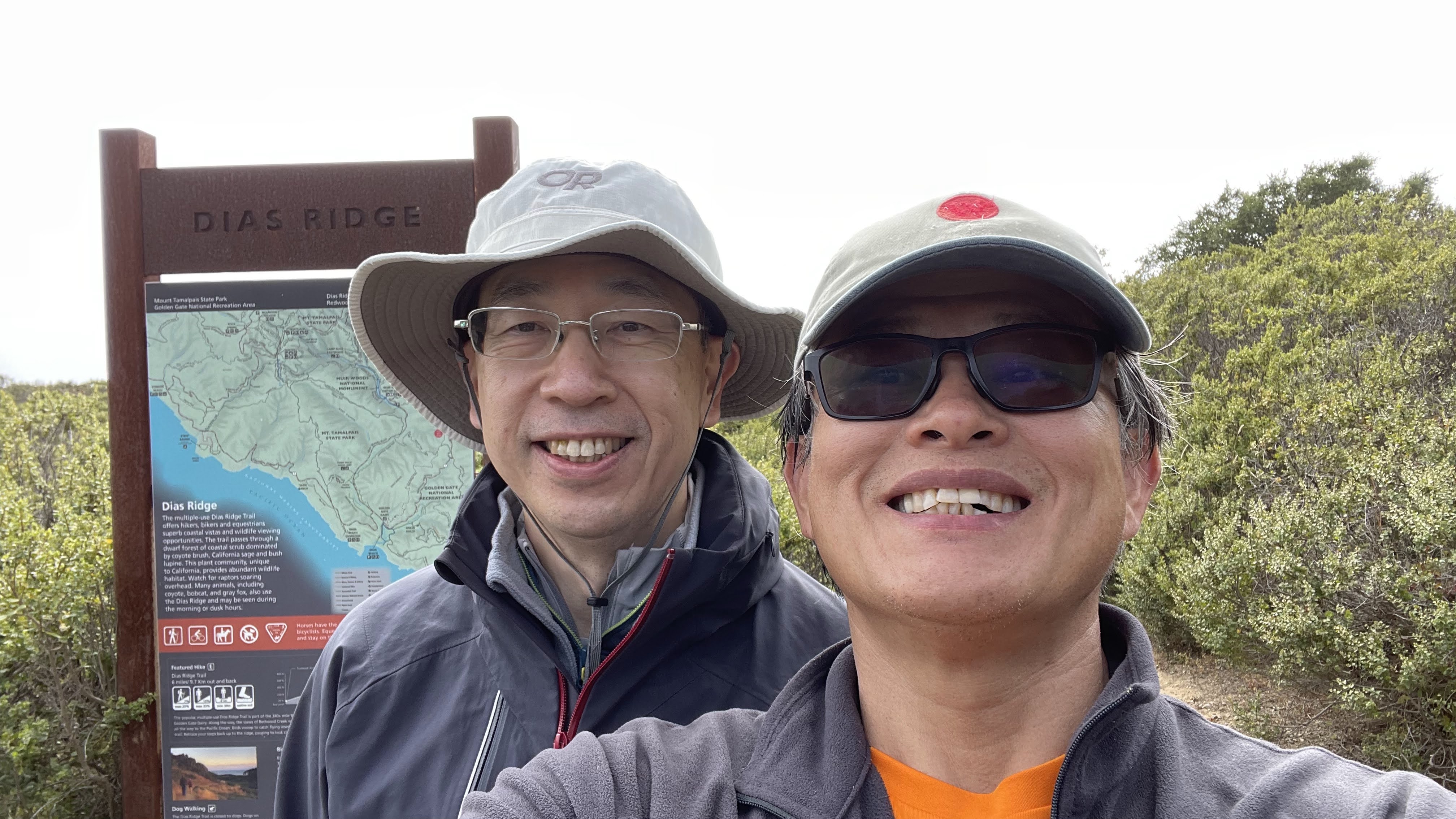
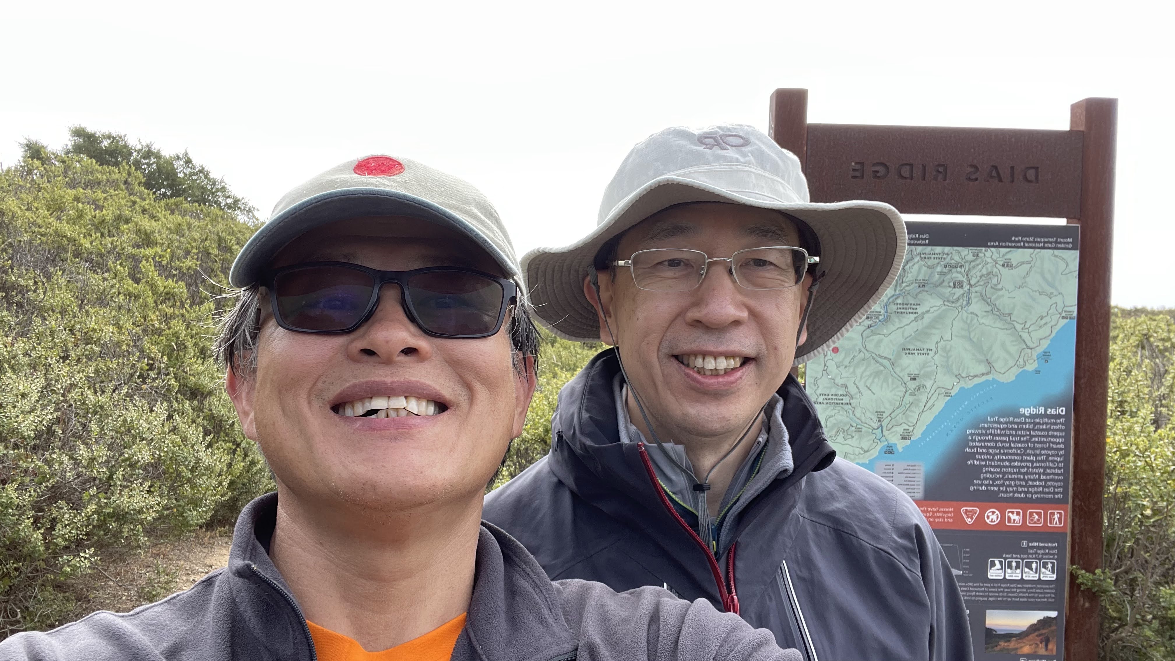
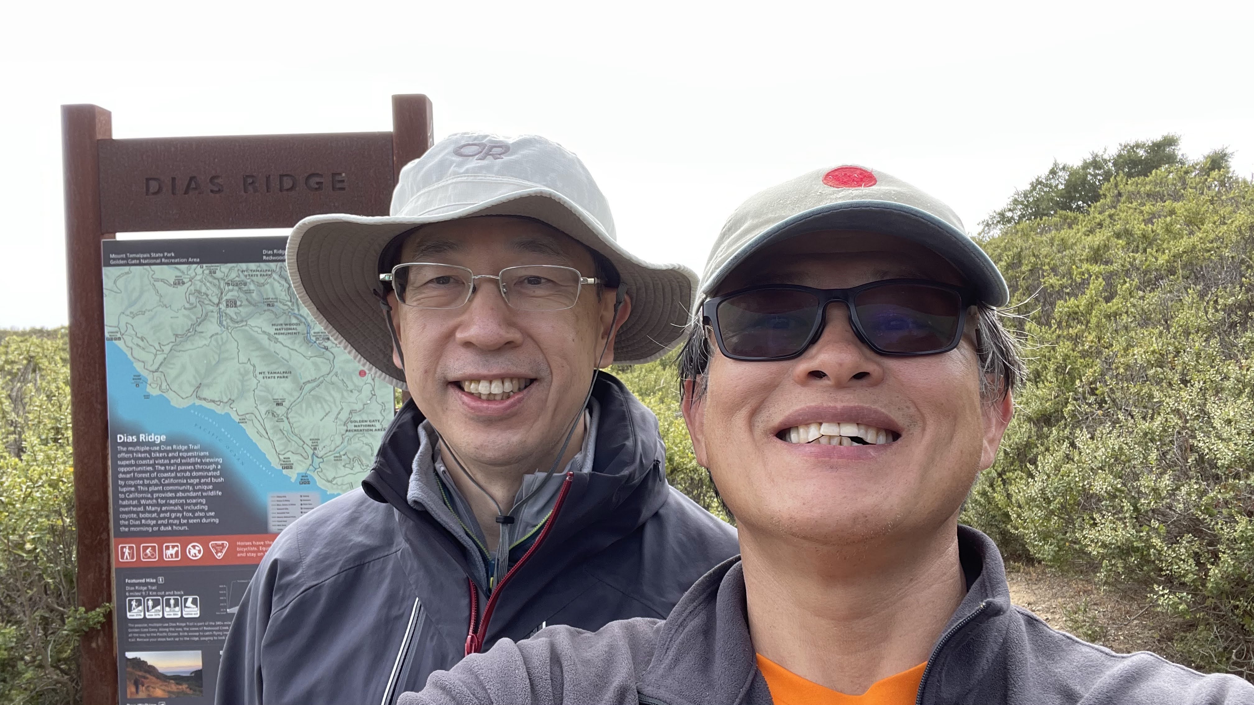
Dias Ridge Trail
.
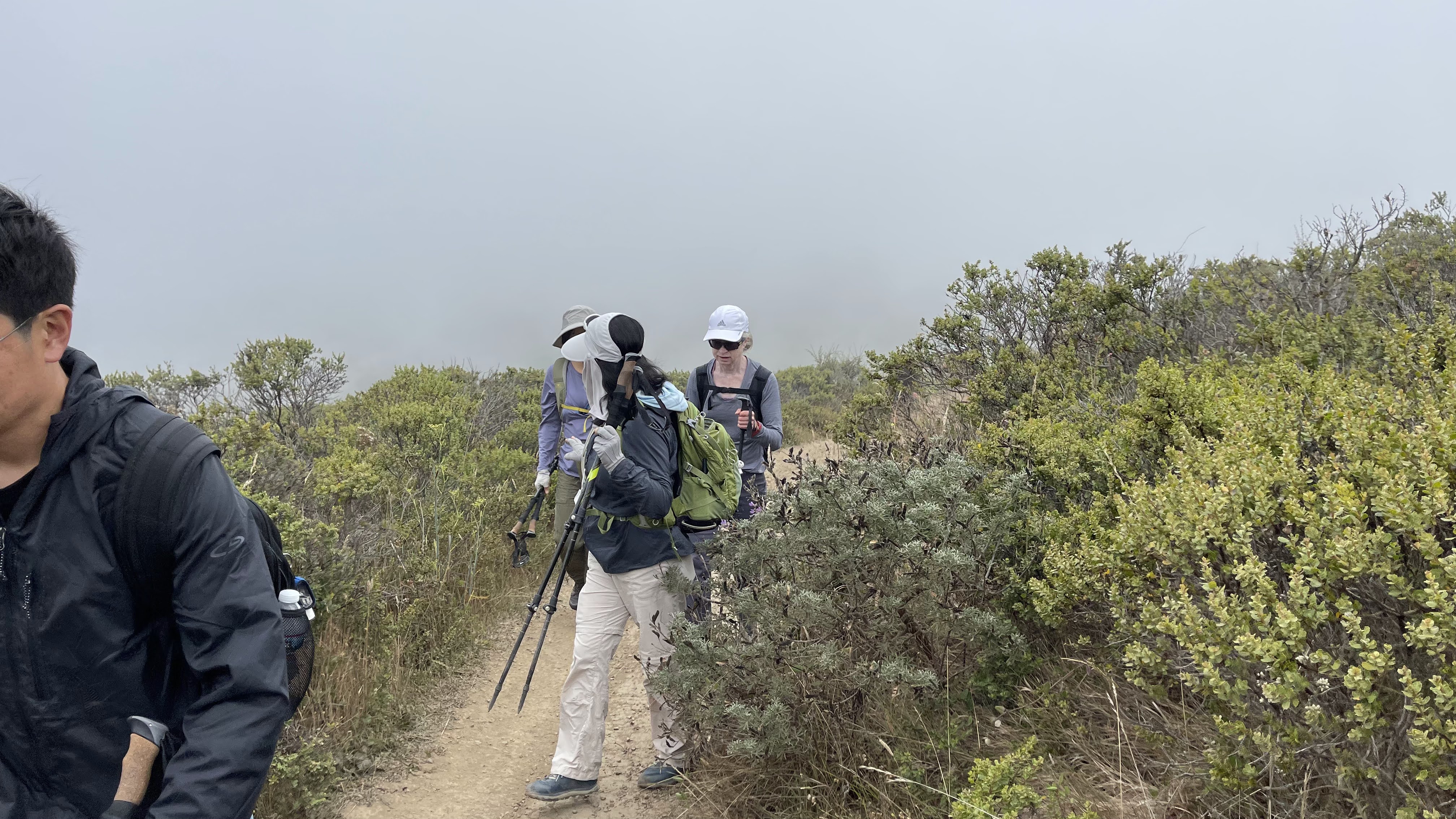
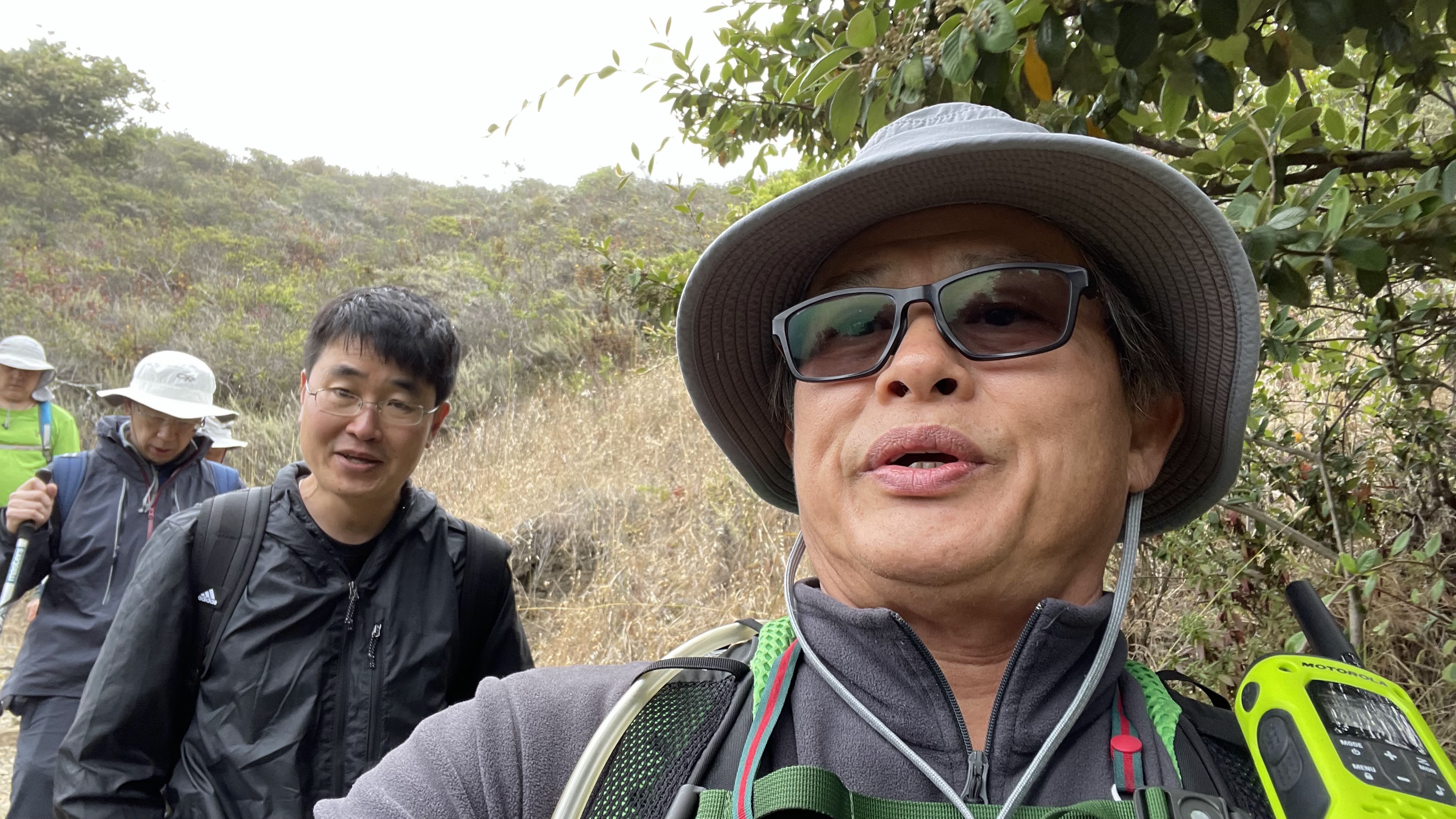
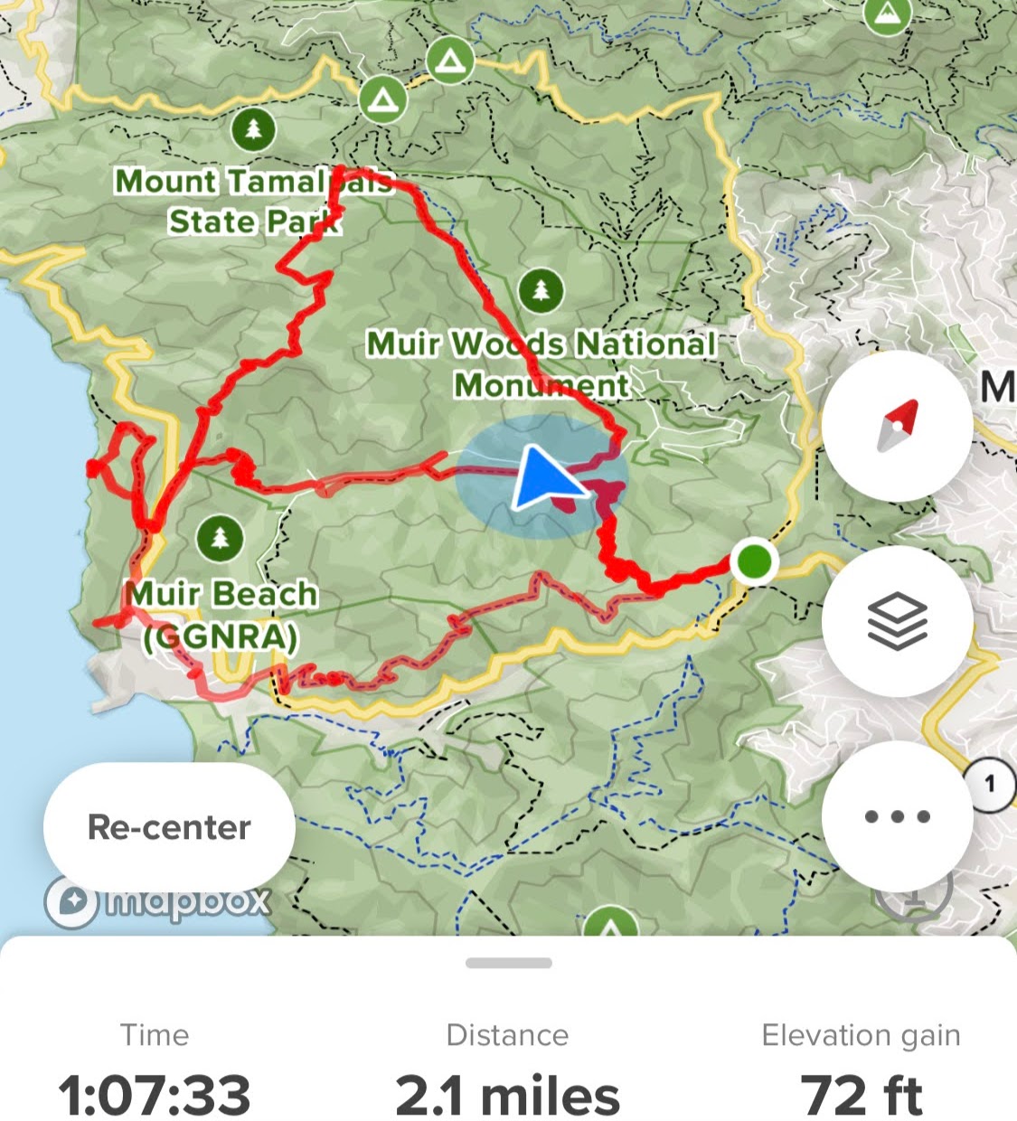
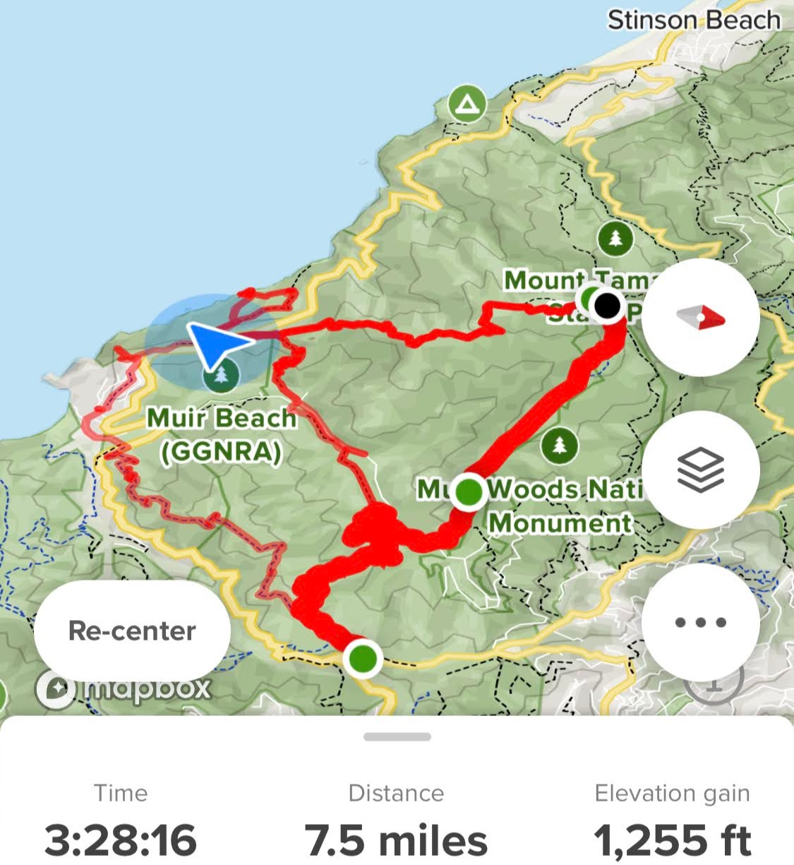
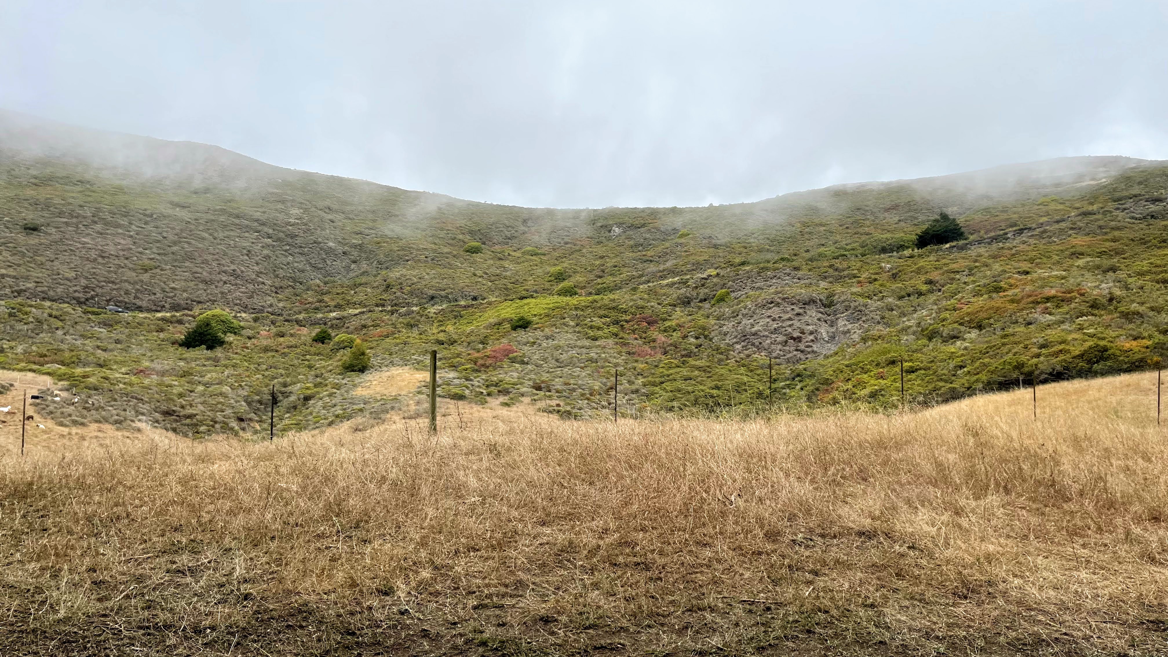
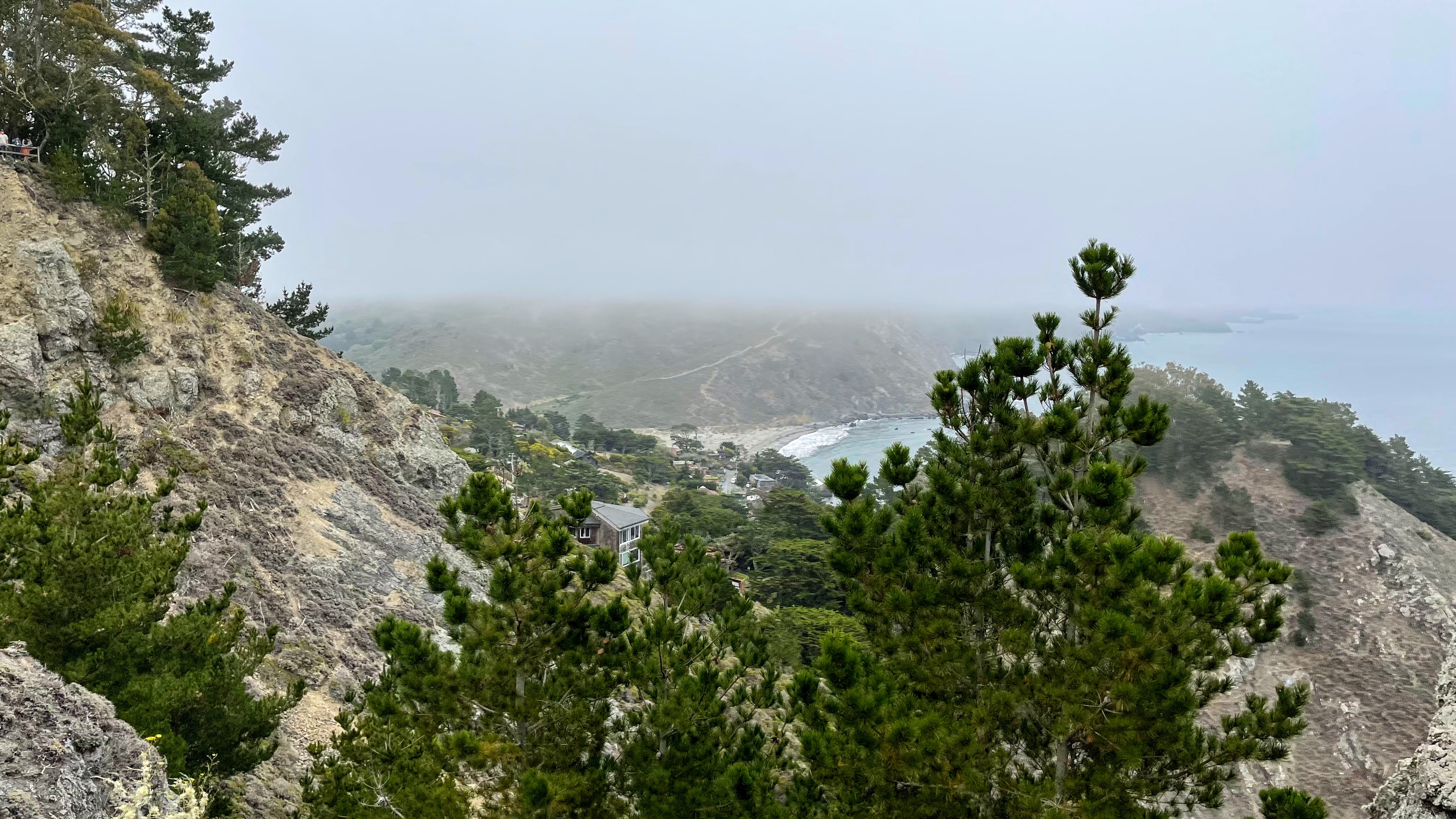
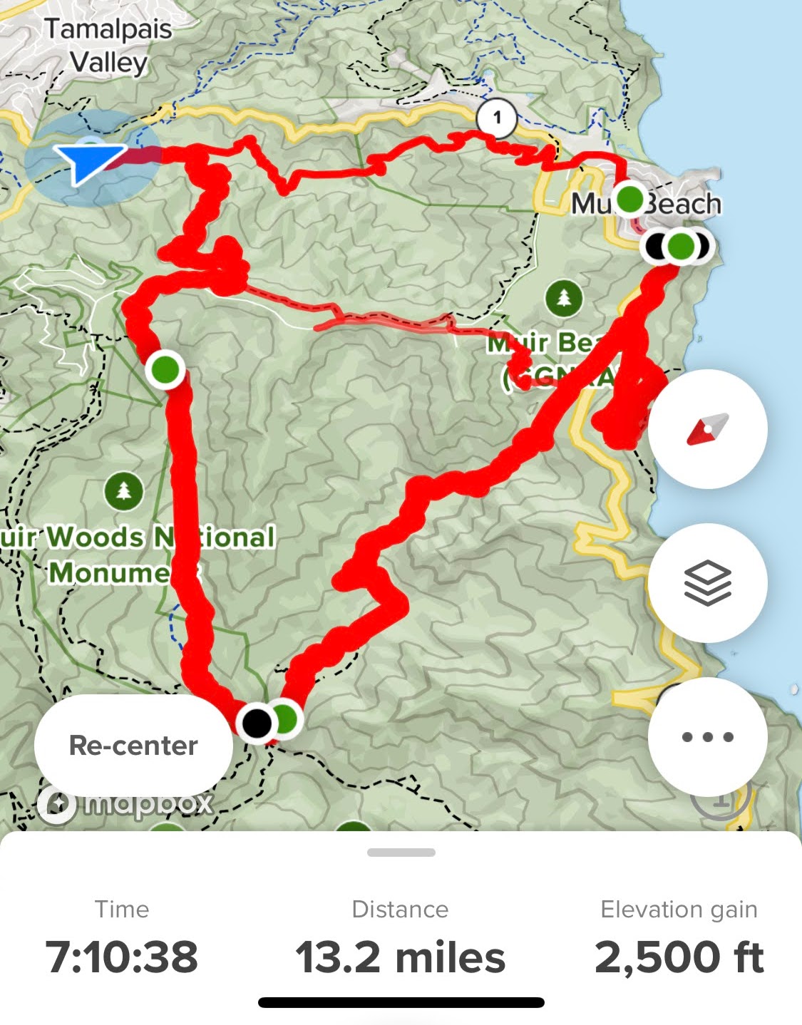
The Dias Ridge Trail runs down the coastal slopes of Mt Tamalpais State Park to Muir Beach in Marin County. The trail is named after Silvio Dias, who operated the Golden Gate Dairy in the early 1900s. This short, multi-use trail is part of the Bay Area Ridge Trail system, a 310+ mile route that touches all nine counties of the San Francisco Bay Area:
.
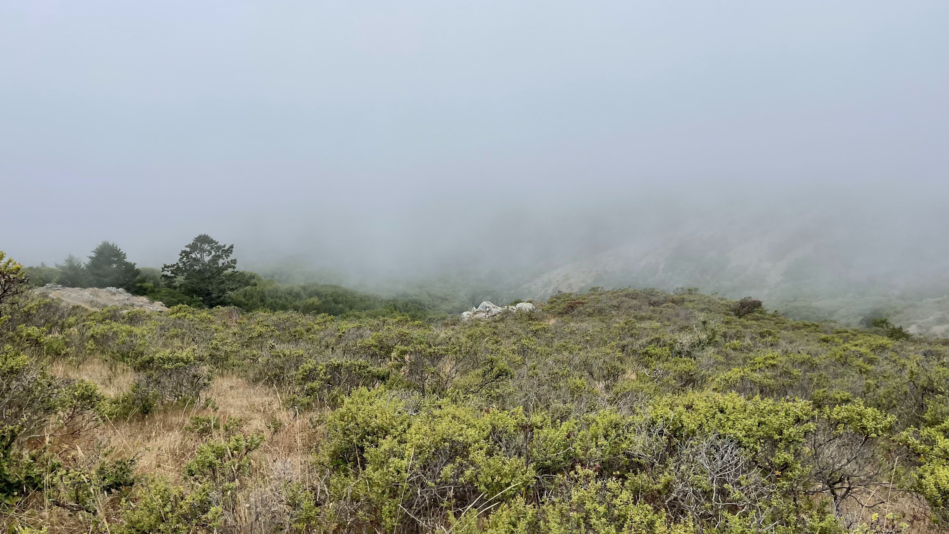
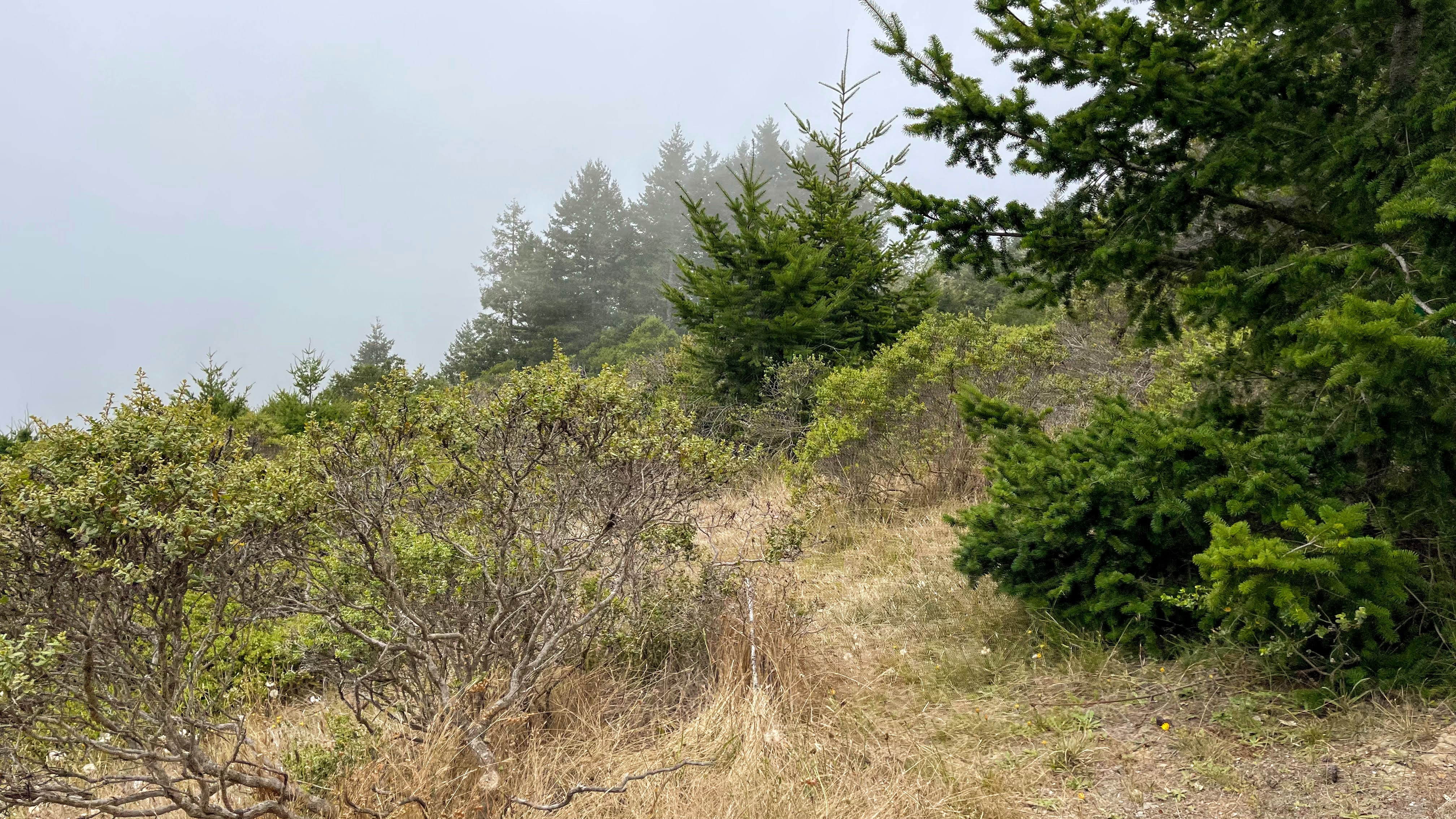
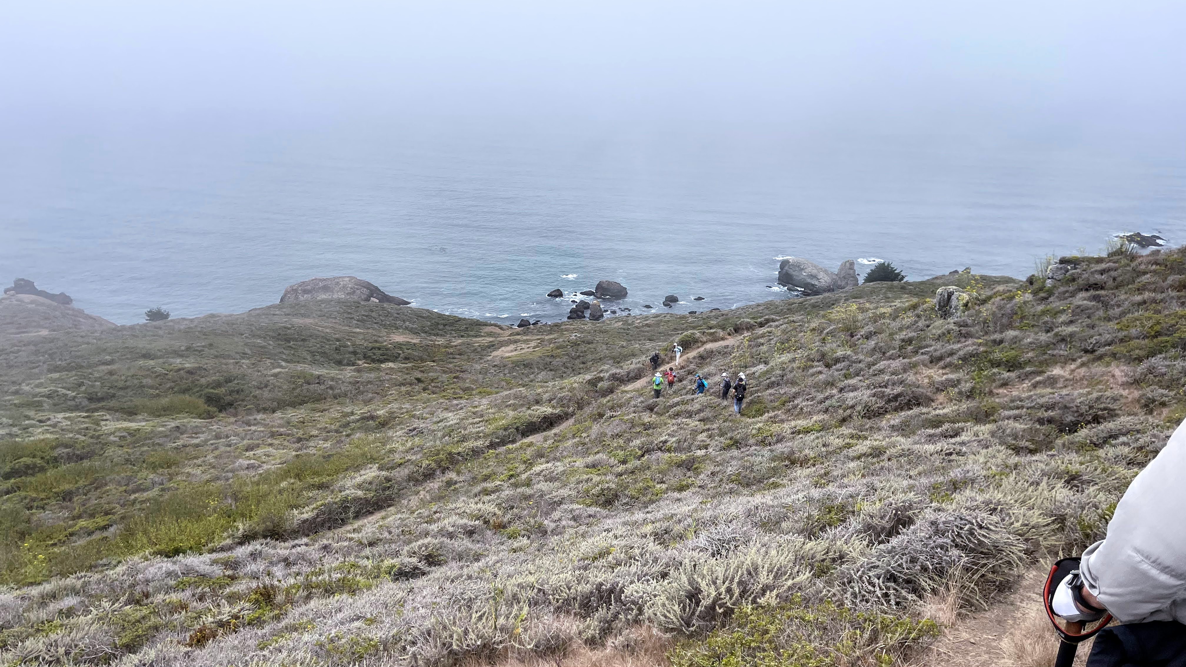
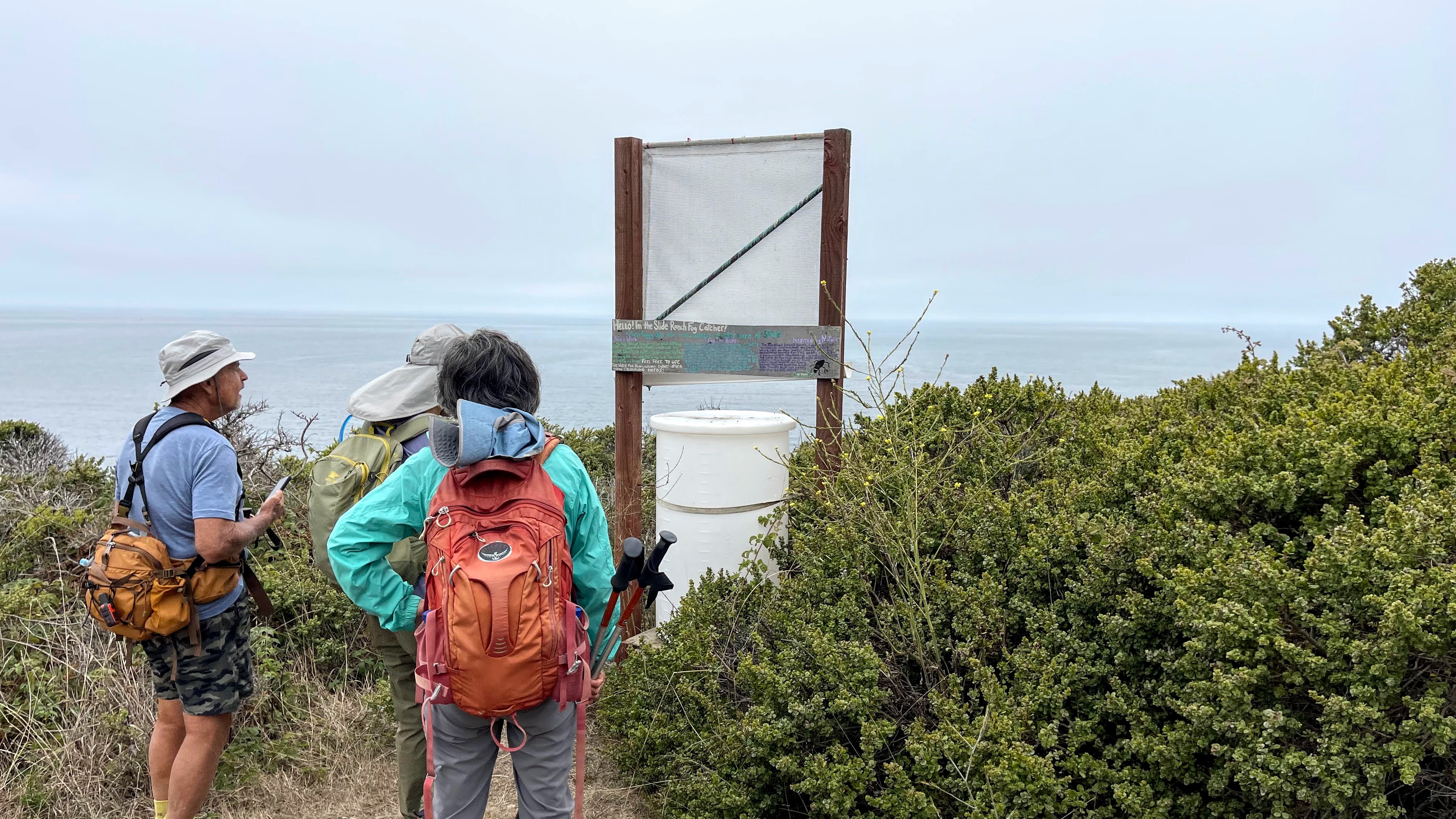
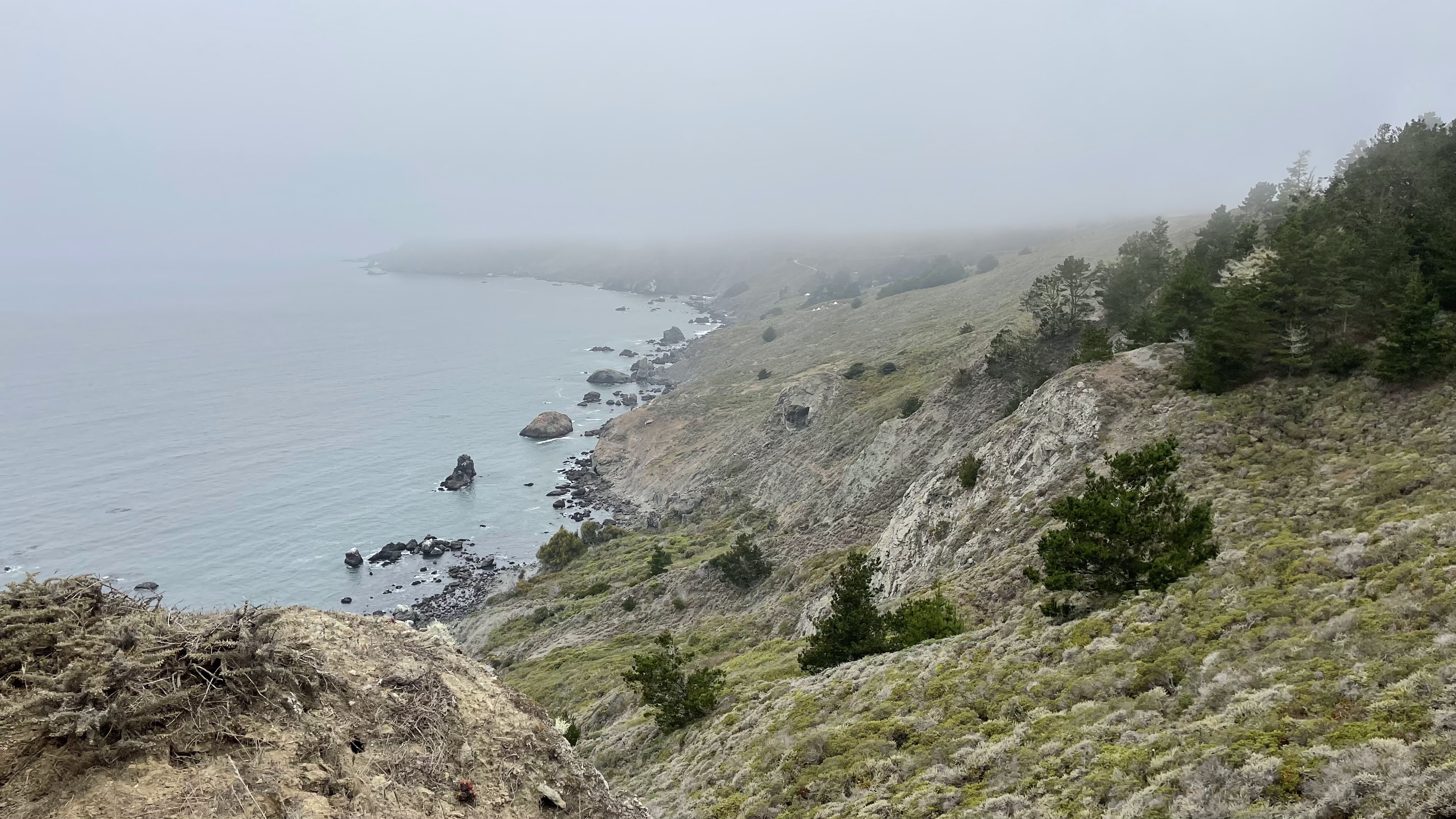
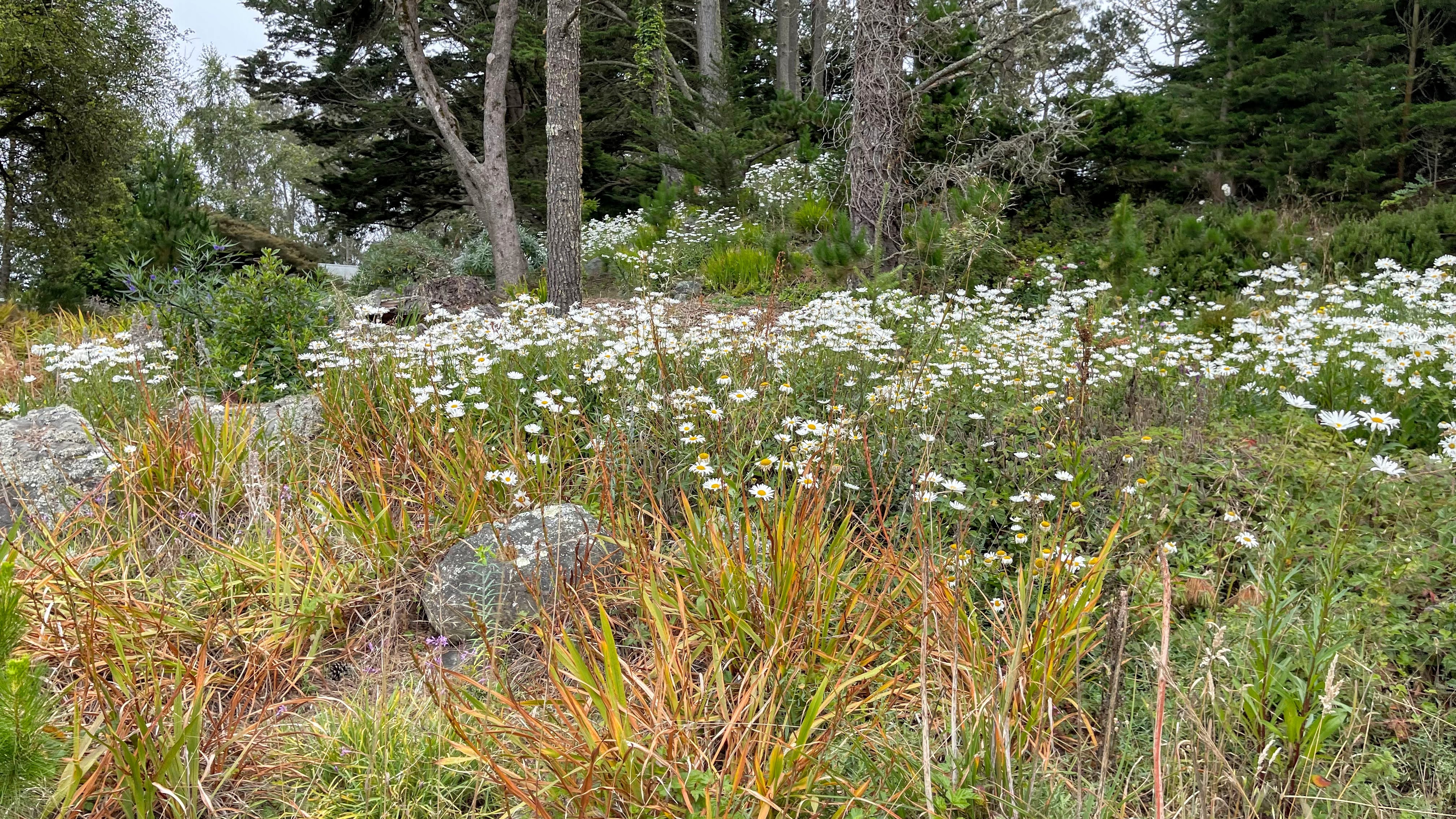
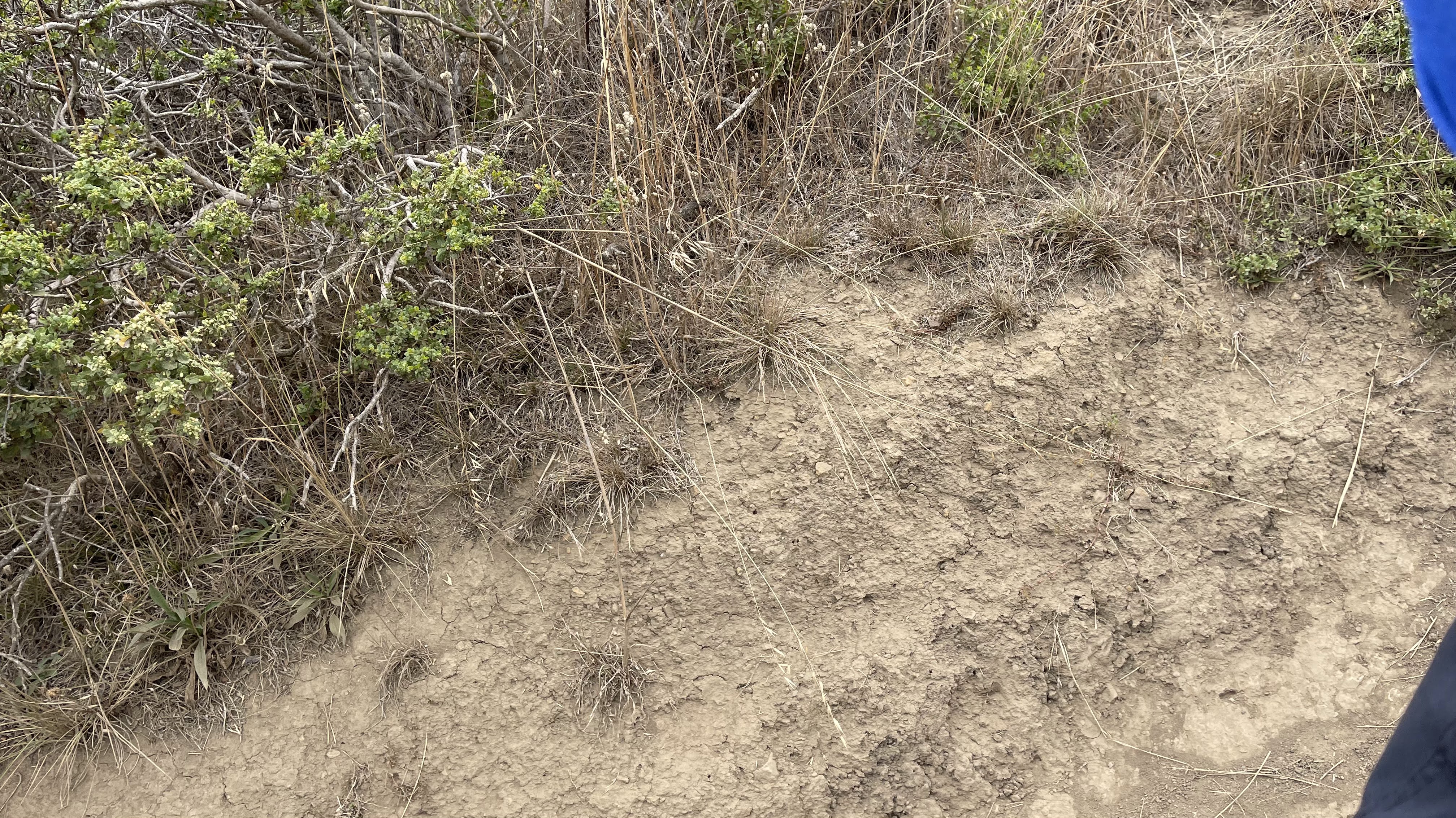
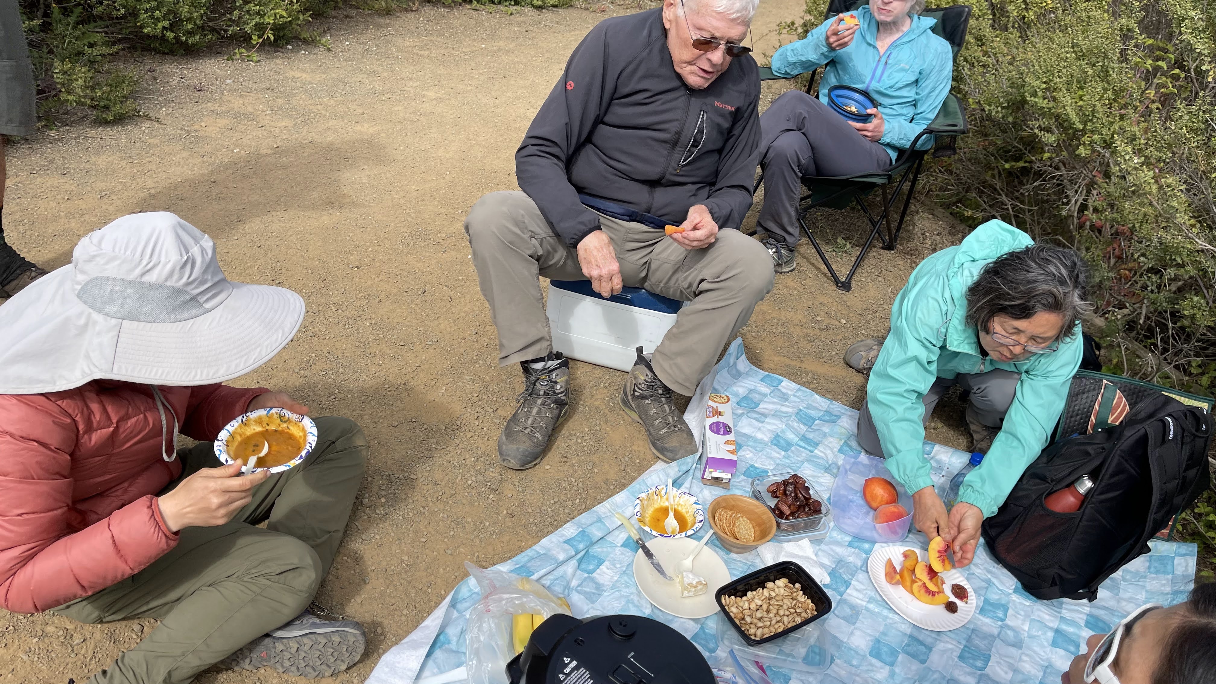
The Dias Ridge Trail heads SW on a high ridge with commanding views over rolling coastal hills and deep valleys below. Clearings in the chaparral are filled with wildflowers from March to June.
.
Look for iris, poppy, lupine, monkey flower, shooting star, buttercup, ithuriel's spear, footsteps of spring, cobweb thistle and hollyhock.
.
The trail undulates with little net gain to the Golden Gate National Recreation Area Boundary (1.45 miles : 773'), where it crests (808') and bends west with views over Muir Beach. Here it tilts downhill on a moderately steep, winding descent to the coast.
.
Note outcrops of greenstone basalt and greywacke, which erode more slowly than surrounding rock beds.
.
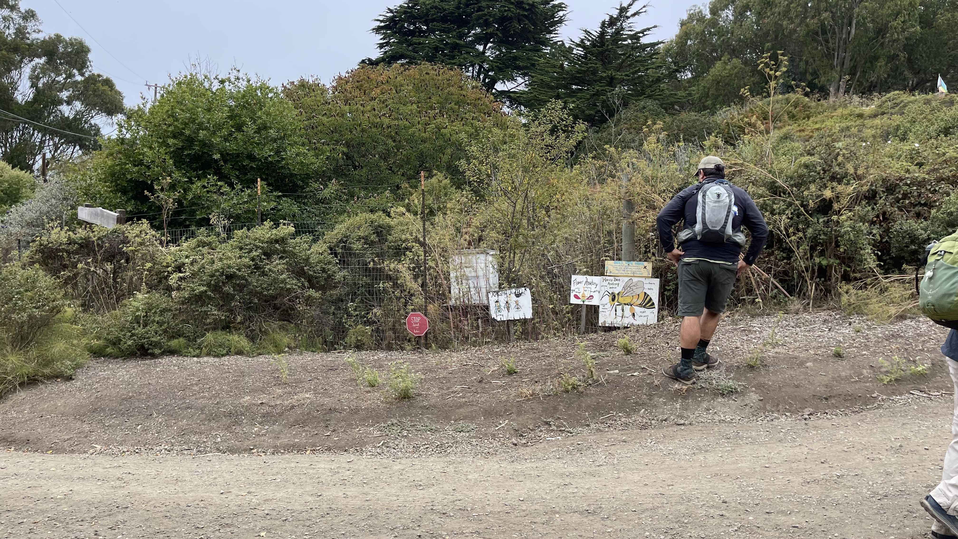
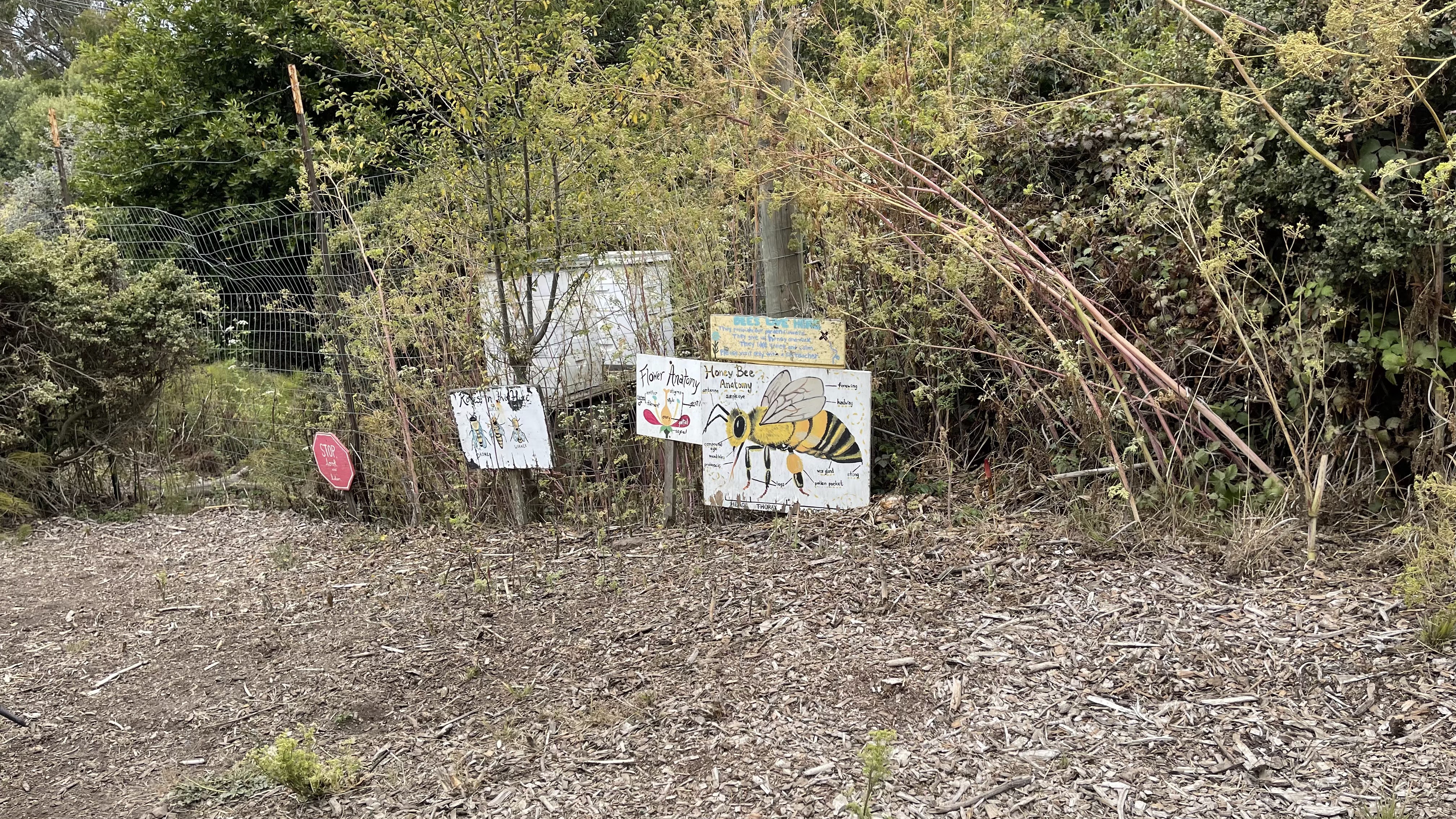
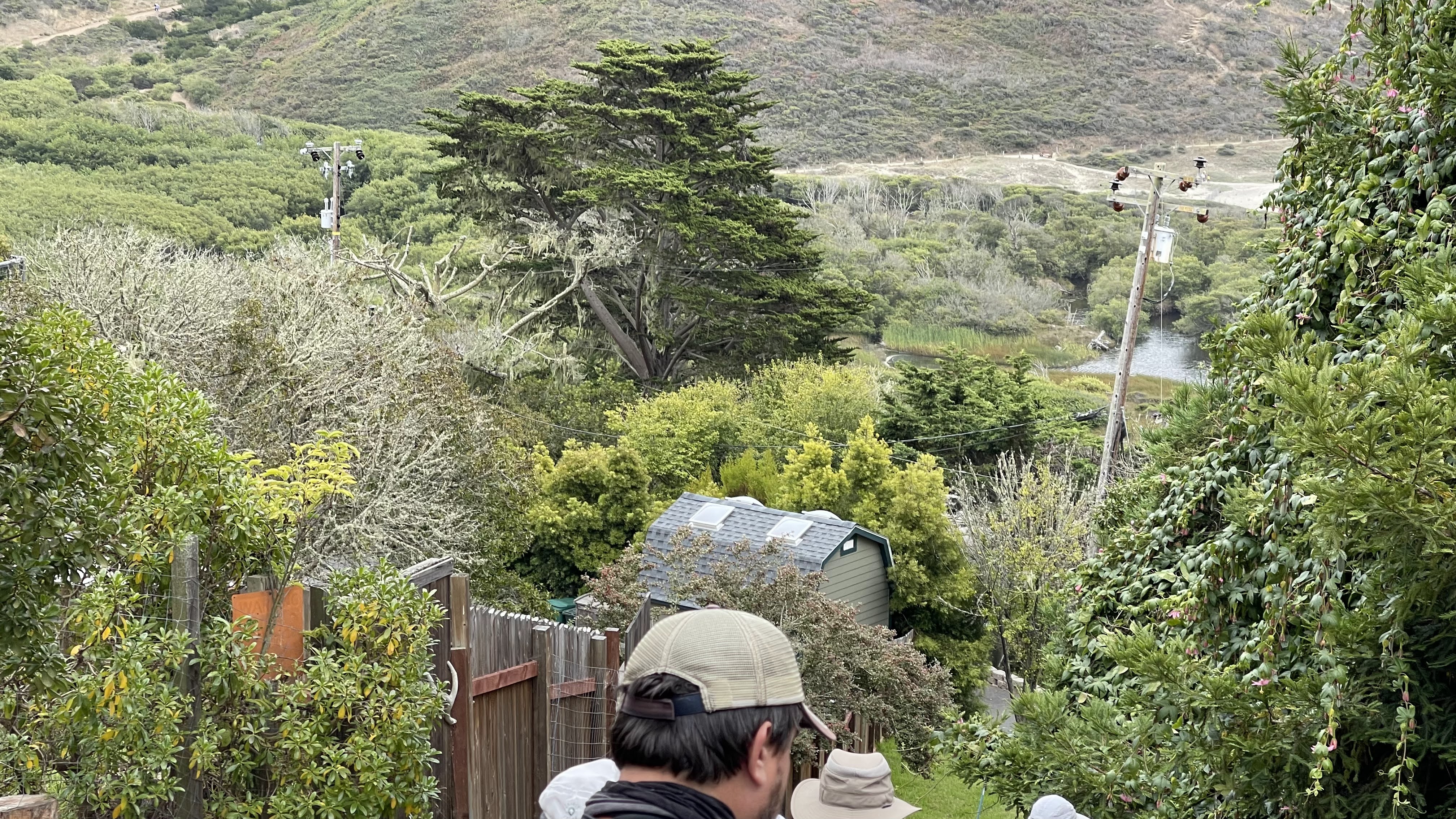
The Dias Ridge Trail ends at a working ranch on HWY 1, just across from the Pelican Inn (3.0 miles : 9'). Cross HWY 1 and follow Pacific Way over Redwood Creek to Muir Beach (3.45 miles).
.
Explore tide pools at low tide, or climb a short distance on the Coastal Trail to good vantages from the bluffs. The Redwood Creek drainage stretches from Muir Woods to the ocean, providing critical habitat and passage for spawning coho salmon and steelhead trout.
.
Redwood Creek slows down before spilling into the ocean, forming a lagoon and natural nursery for young salmon. The endangered California red legged frog and scores of birds rely on these wetlands for food and shelter. Dunes at Muir Beach begin just above the high tide line, held together by intricate root systems of increasingly rare pants.
.
Respect this natural habitat and ongoing work of the Redwood Creek Restoration Project by enjoying the lagoon, dunes, and stream banks from a distance.
.
About Muir Beach
.
The Miwoks were the first known habitants of the Frank Valley and Muir Beach area. In the 1830s when California was a Mexican Territory, Muir Beach was incorporated into a nearby ranch called Rancho Sausalito.
.
20 years later the owner sold the ranch to the Tamalpais Water Company, who later sold it to Portuguese businessman Antonio Bello, who named it after himself. The beach was renamed Muir Beach in 1940, which became incorporated into the Golden Gate National Recreation Area in 1978.
.
+++
忍齋 黃薔 李相遠님 - 노란장미의 사는 이야기 그리고 80518


반응형
'이야기' 카테고리의 다른 글
| 031. 지그문트 프로이트, 꿈의 해석 (0) | 2022.08.04 |
|---|---|
| 98. ANGEL ISLAND, SAN FRANCISCO, CALIFORNIA (0) | 2022.07.31 |
| 이해하기 힘든 미군 보직들 (0) | 2022.07.23 |
| 021. 이동휘횡삭부시 - 李東輝橫槊賦詩 (1) | 2022.07.18 |
| 020. 국공합작(國共合作)의 원조(元祖) 성재(誠齋) 대자유(大自由) 이동휘(李東輝) 선생님 (1) | 2022.07.17 |


