고정 헤더 영역
상세 컨텐츠
본문
반응형
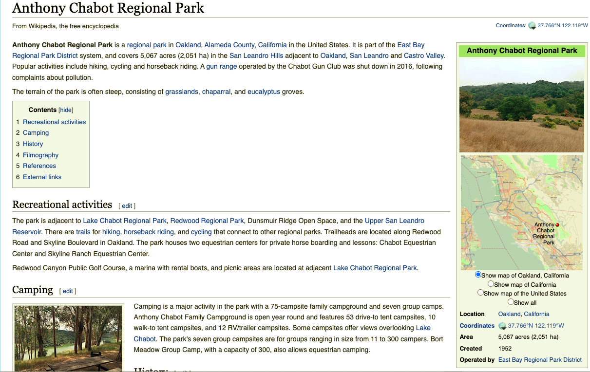
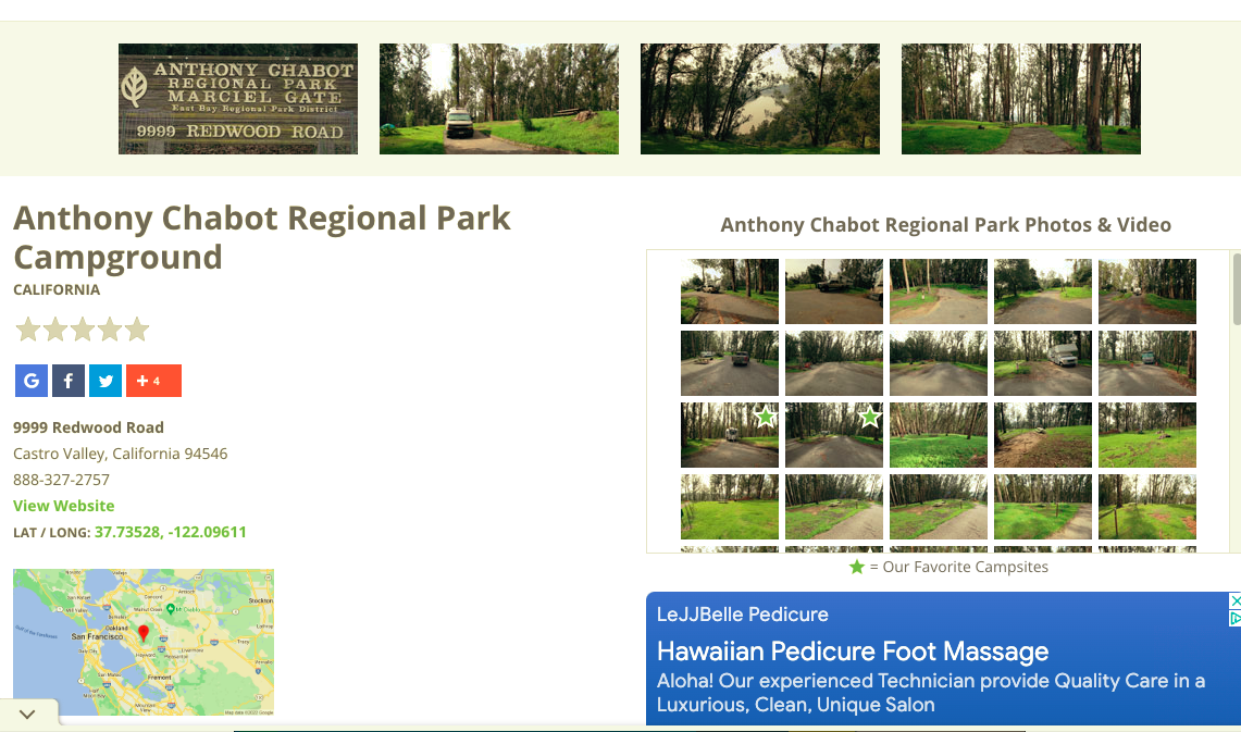
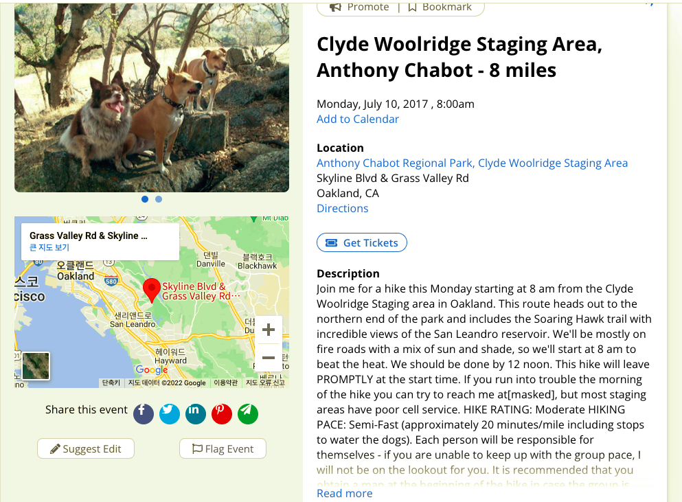
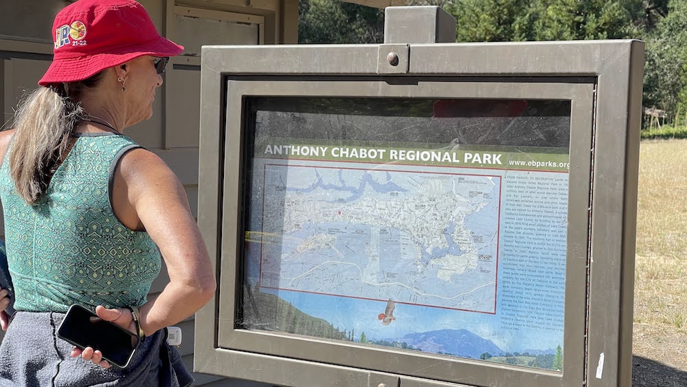
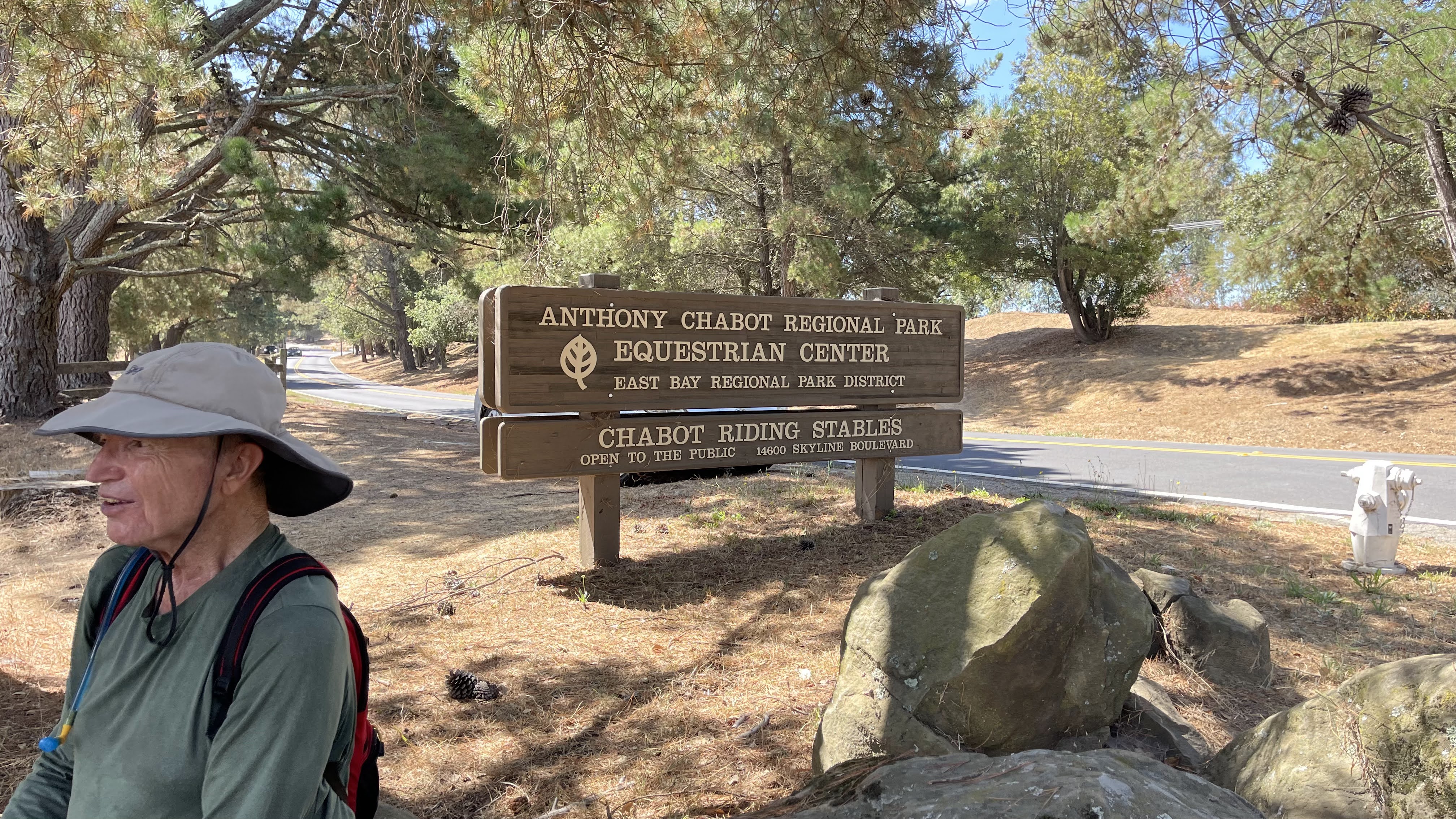
Anthony Chabot Regional Park
.
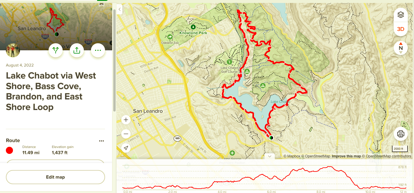
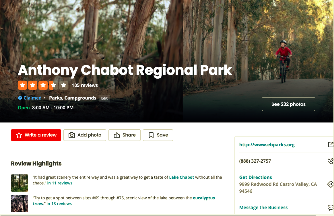
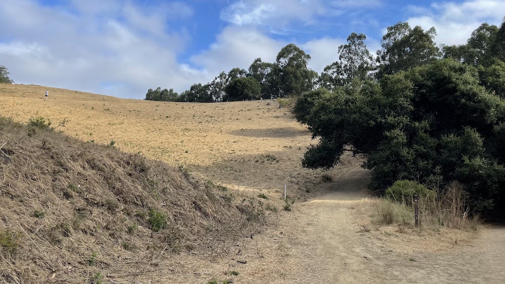
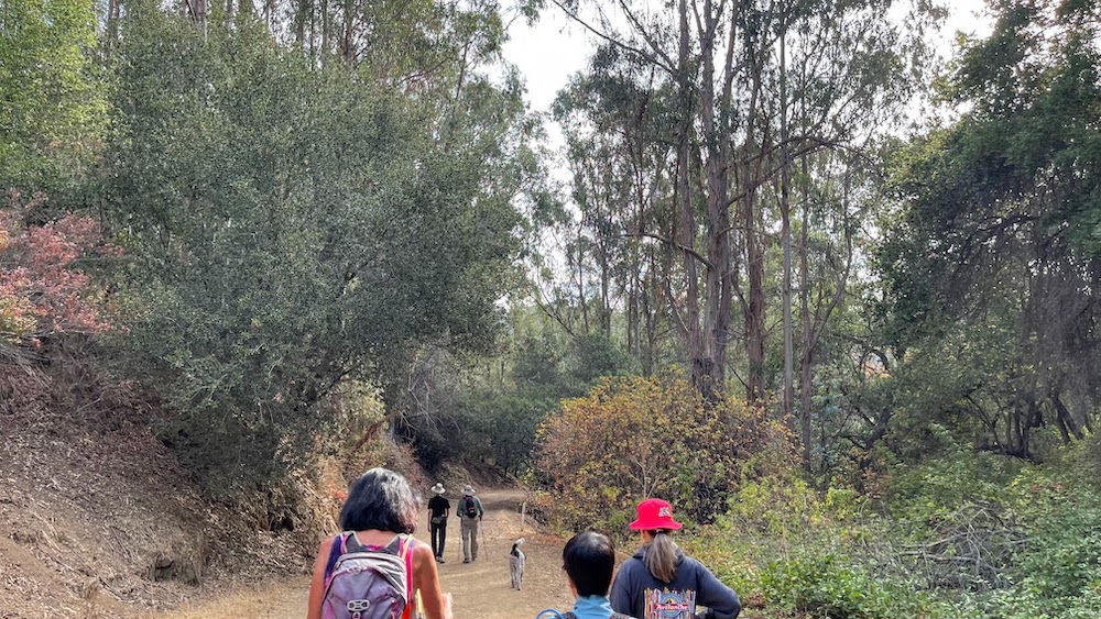
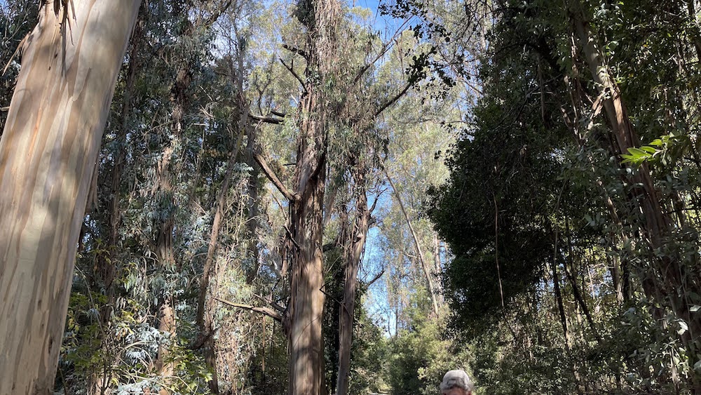
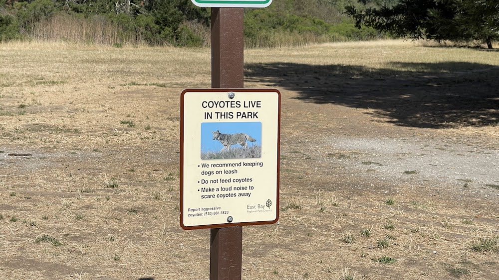
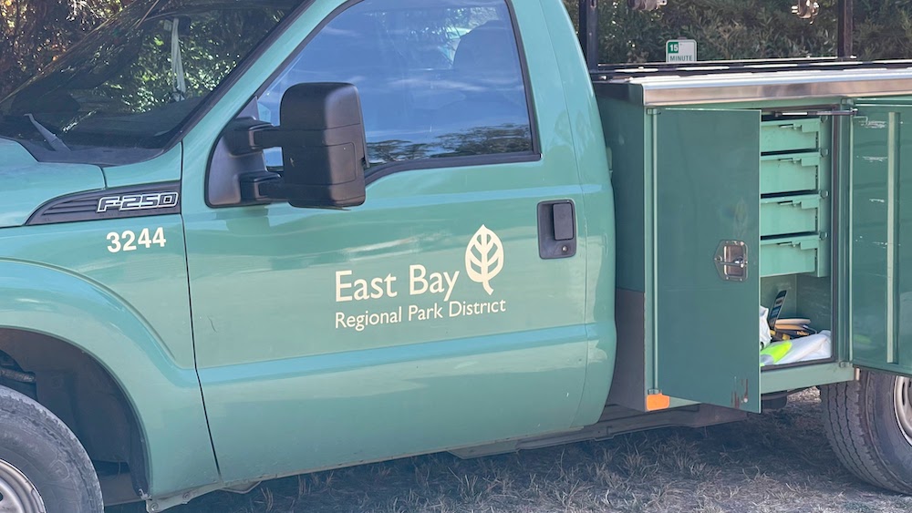
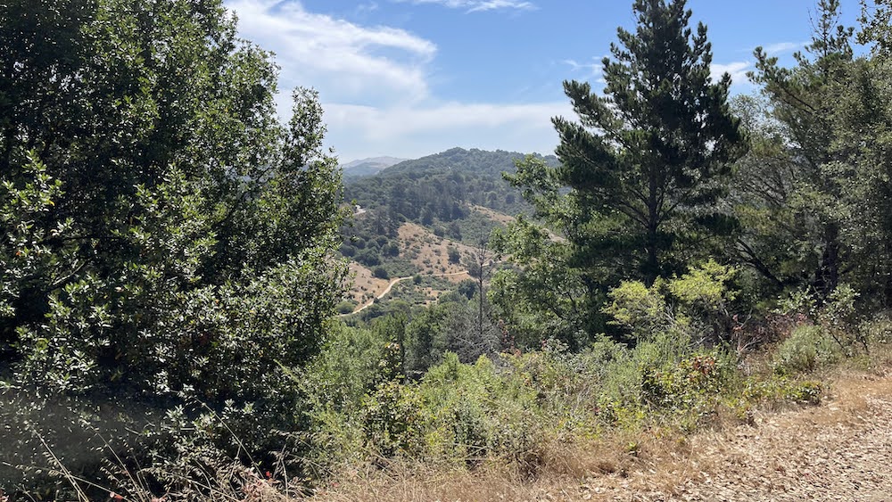
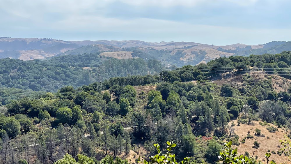
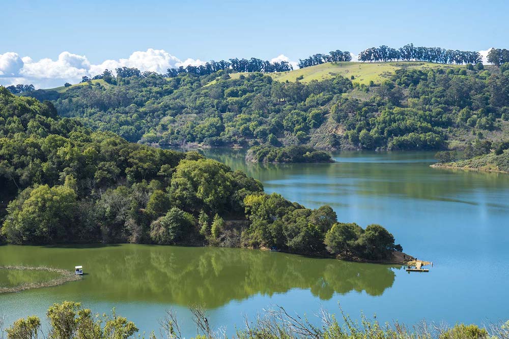
Anthony Chabot Regional Park is a regional park in Oakland, Alameda County, California in the United States. It is part of the East Bay Regional Park District system, and covers 5,067 acres (2,051 ha) in the San Leandro Hills adjacent to Oakland, San Leandro and Castro Valley. Popular activities include hiking, cycling and horseback riding. A gun range operated by the Chabot Gun Club was shut down in 2016, following complaints about pollution. The terrain of the park is often steep, consisting of grasslands, chaparral, and eucalyptus groves.
.
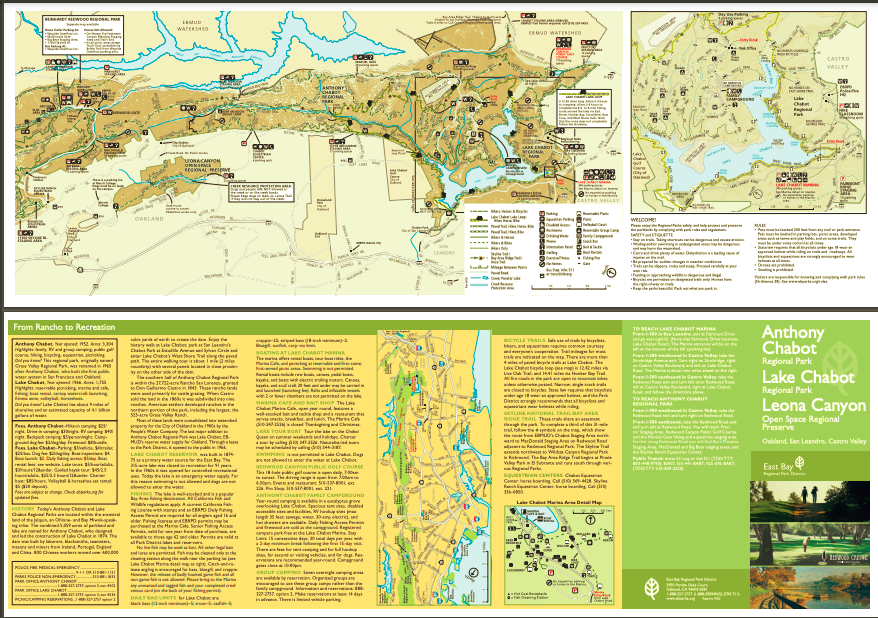
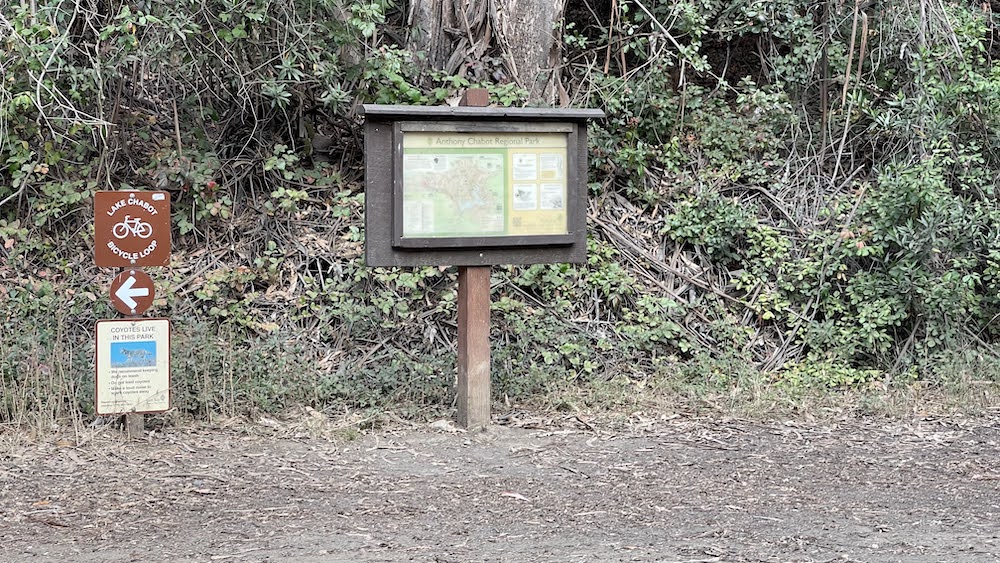
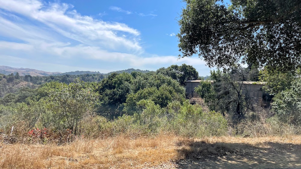
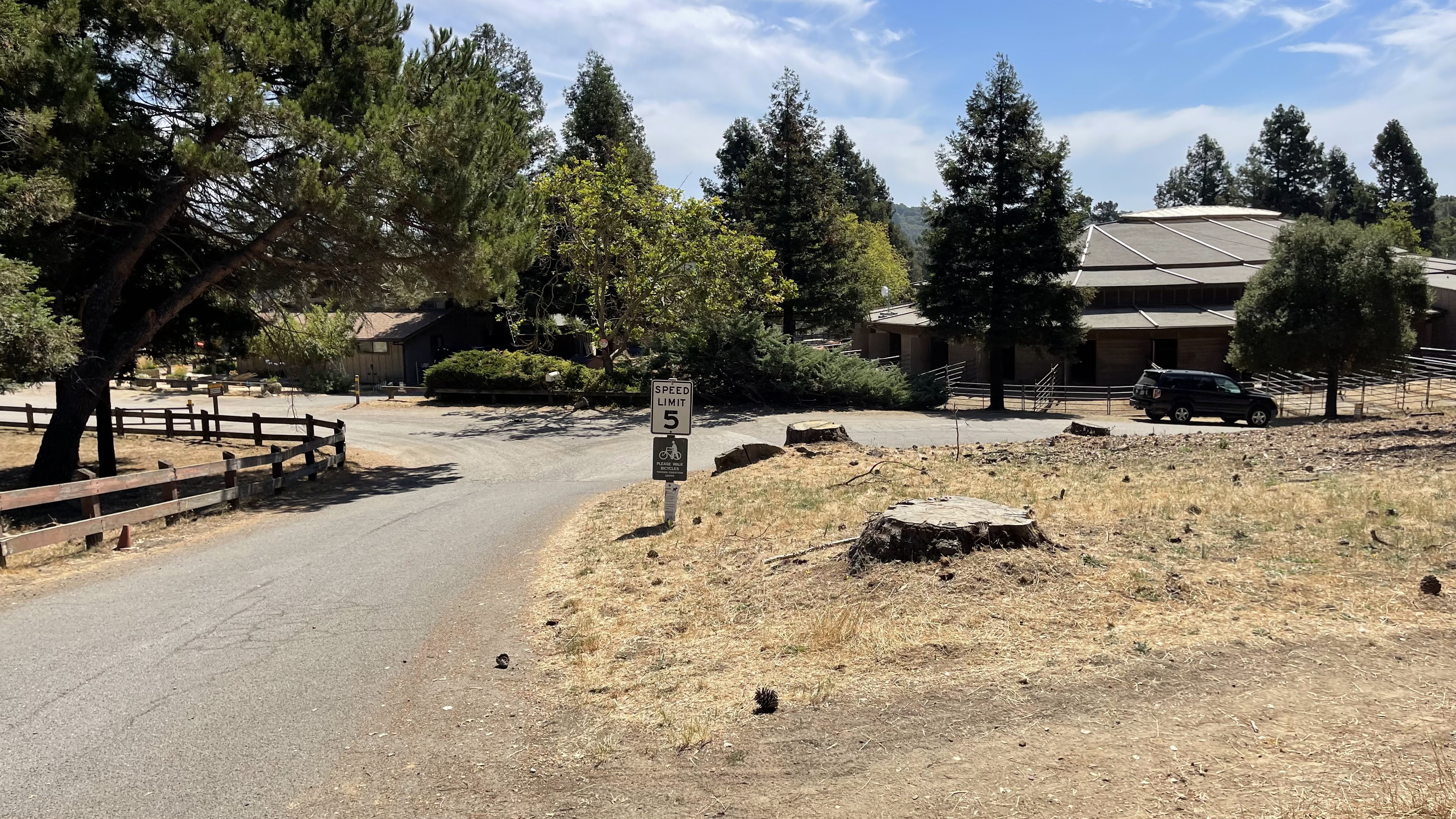
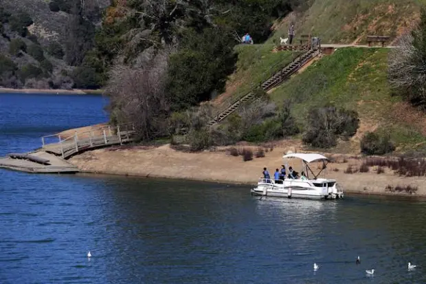
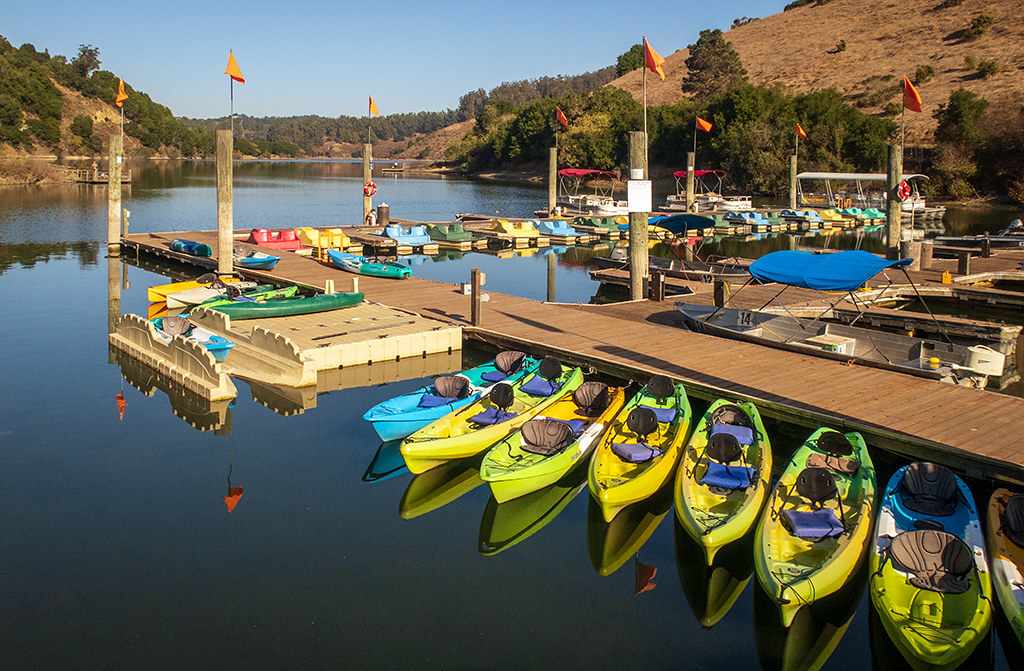
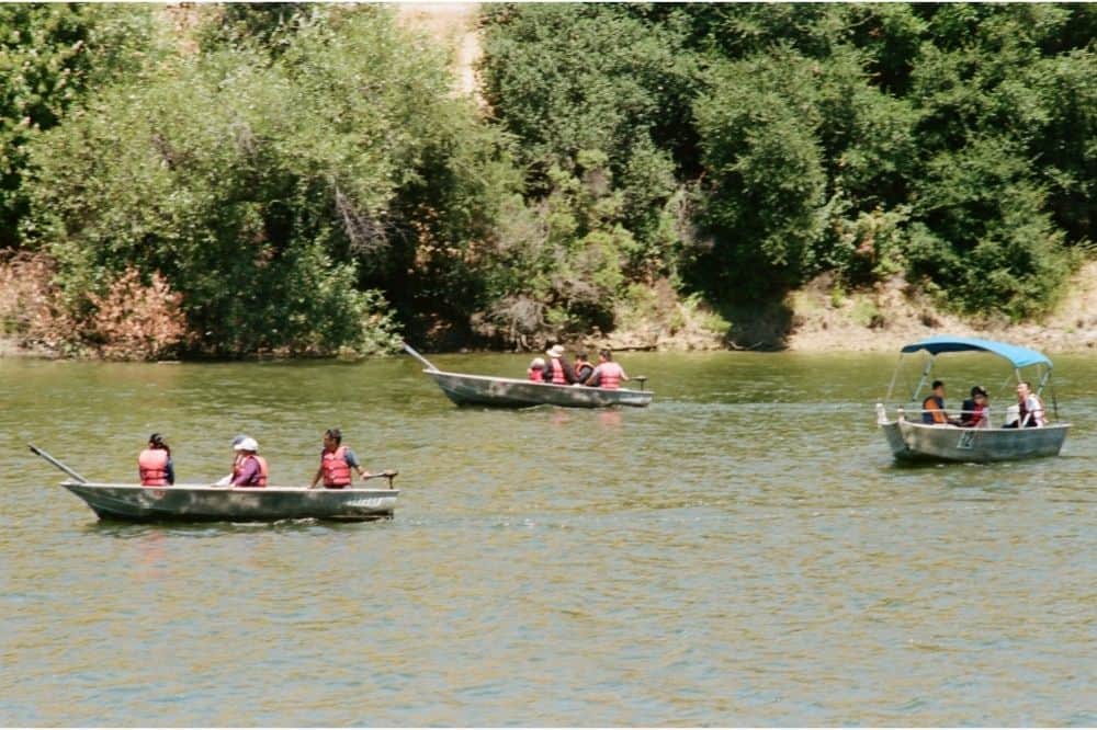
The park is adjacent to Lake Chabot Regional Park, Redwood Regional Park, Dunsmuir Ridge Open Space, and the Upper San Leandro Reservoir. There are trails for hiking, horseback riding, and cycling that connect to other regional parks. Trailheads are located along Redwood Road and Skyline Boulevard in Oakland. The park houses two equestrian centers for private horse boarding and lessons: Chabot Equestrian Center and Skyline Ranch Equestrian Center. Redwood Canyon Public Golf Course, a marina with rental boats, and picnic areas are located at adjacent Lake Chabot Regional Park.
.
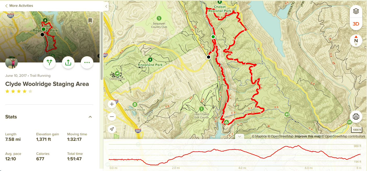
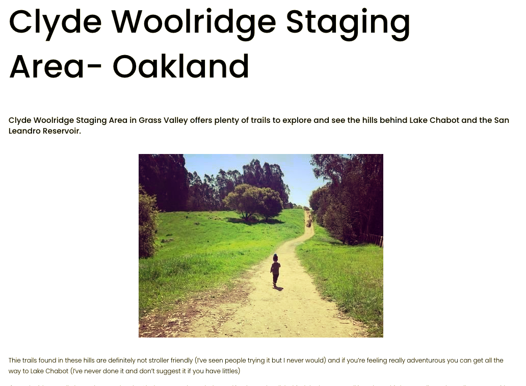
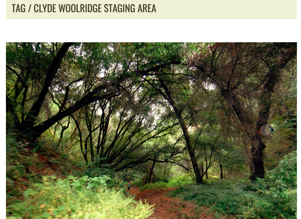
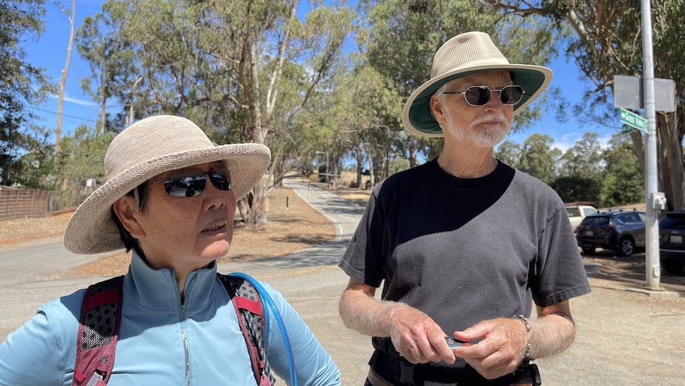
Clyde Woolridge Staging Area
.
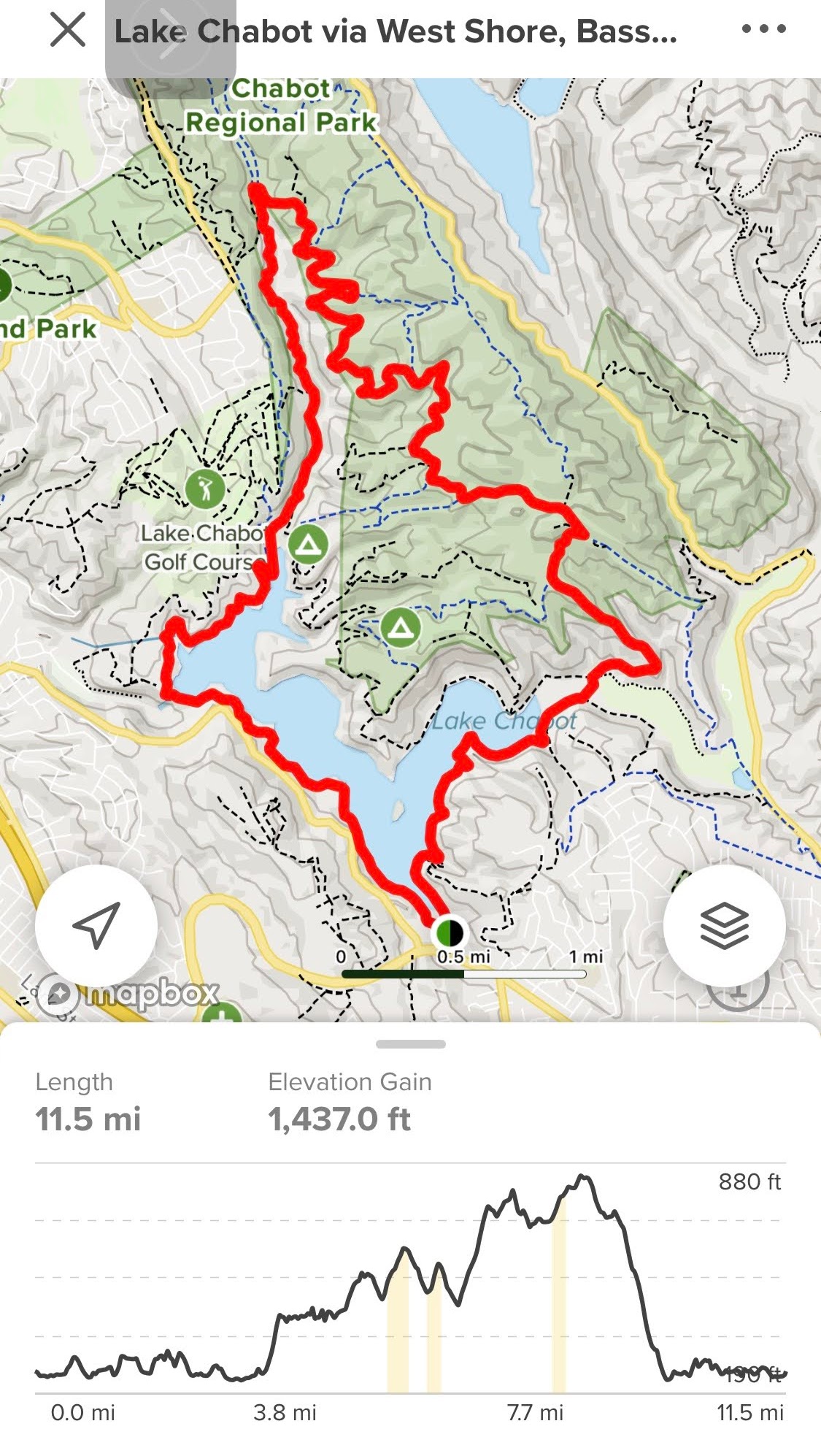
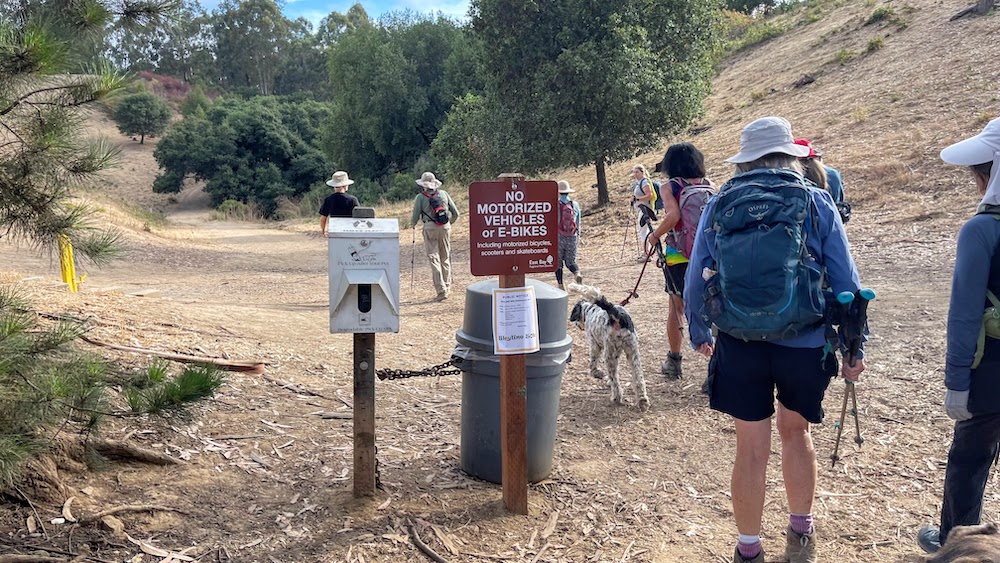
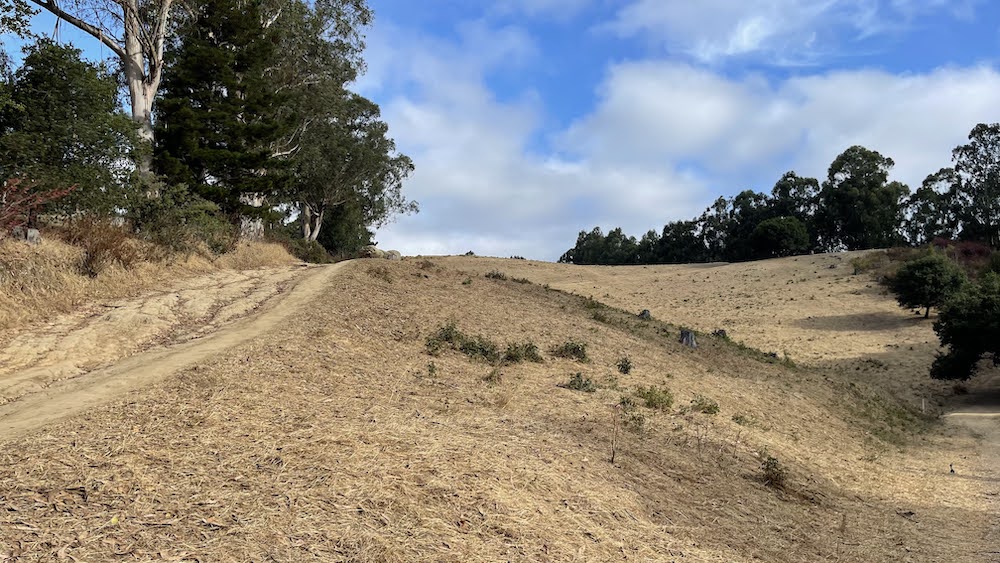
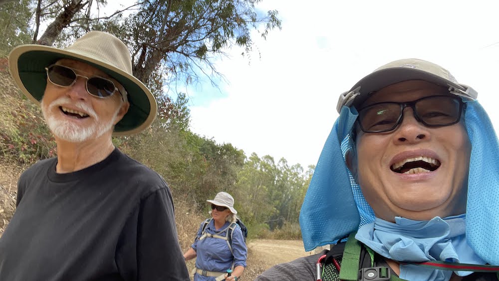
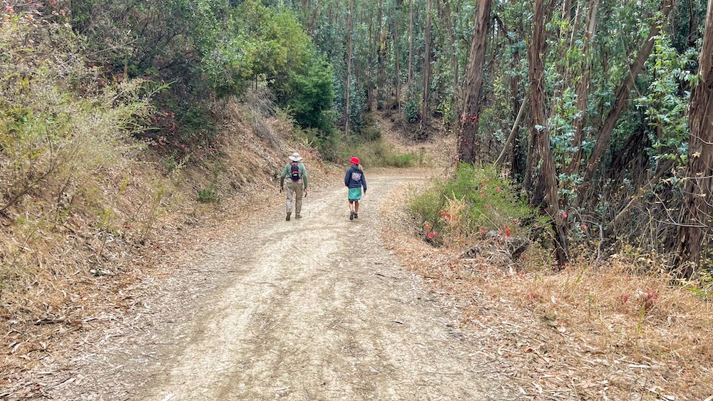
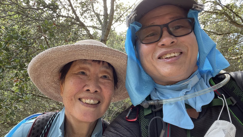
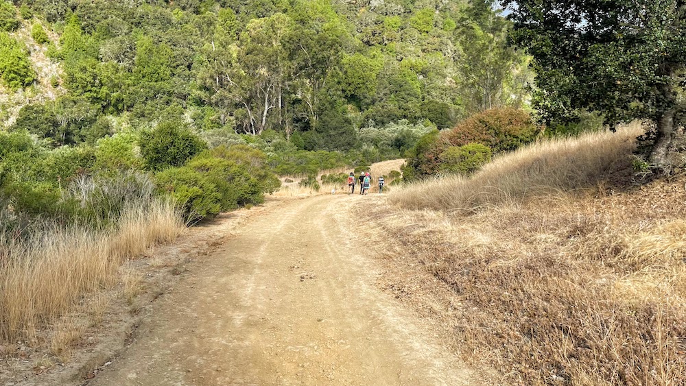
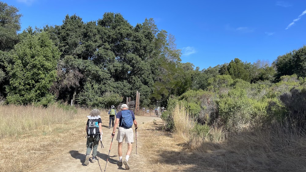
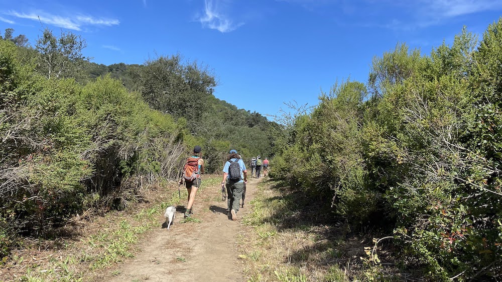
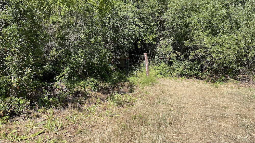
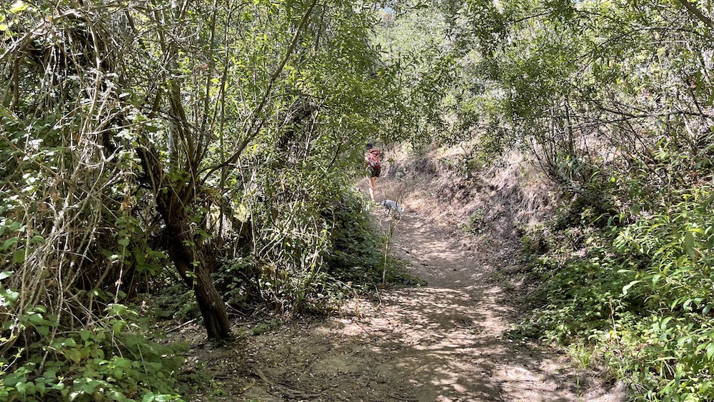
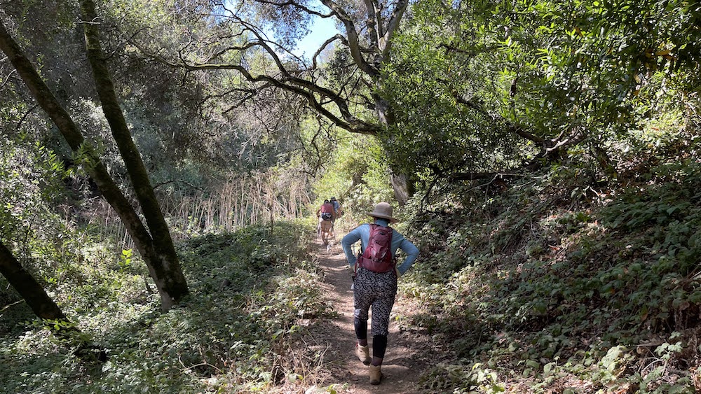
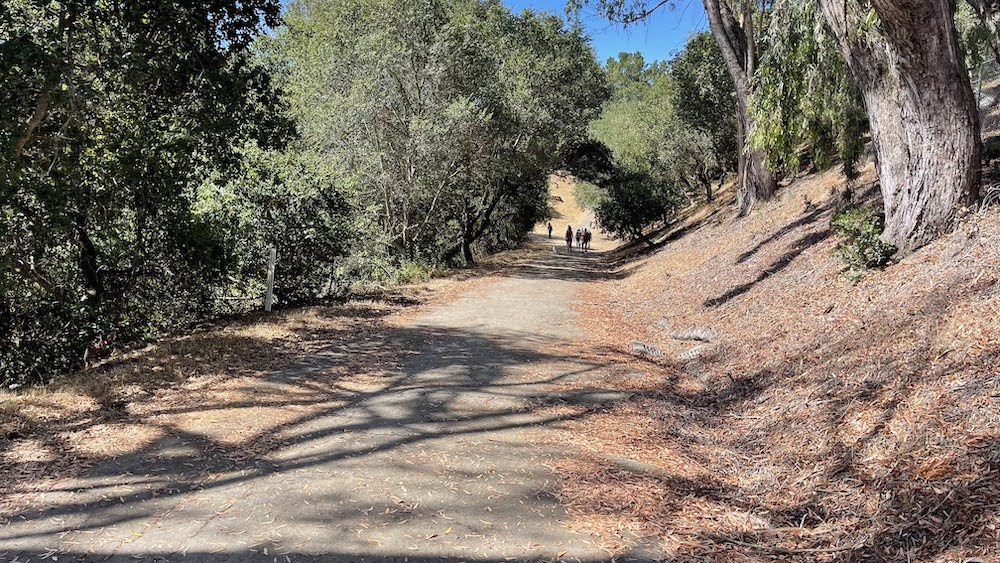
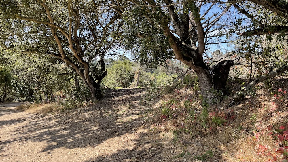
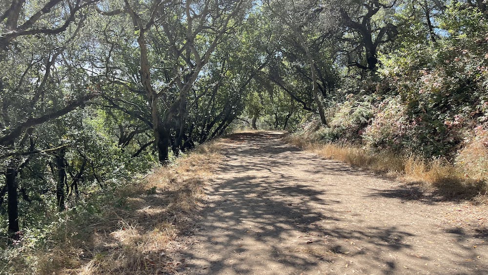
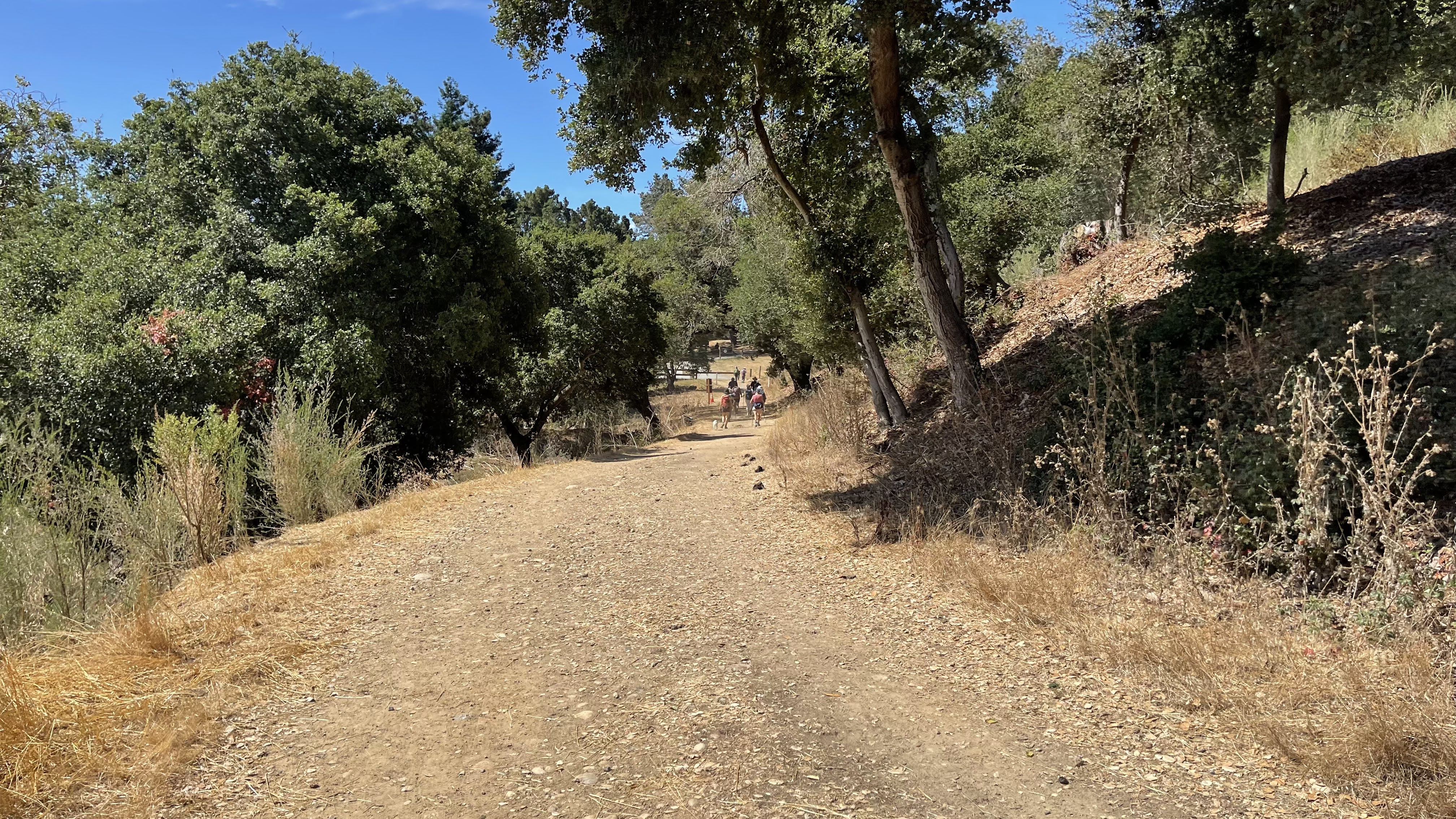
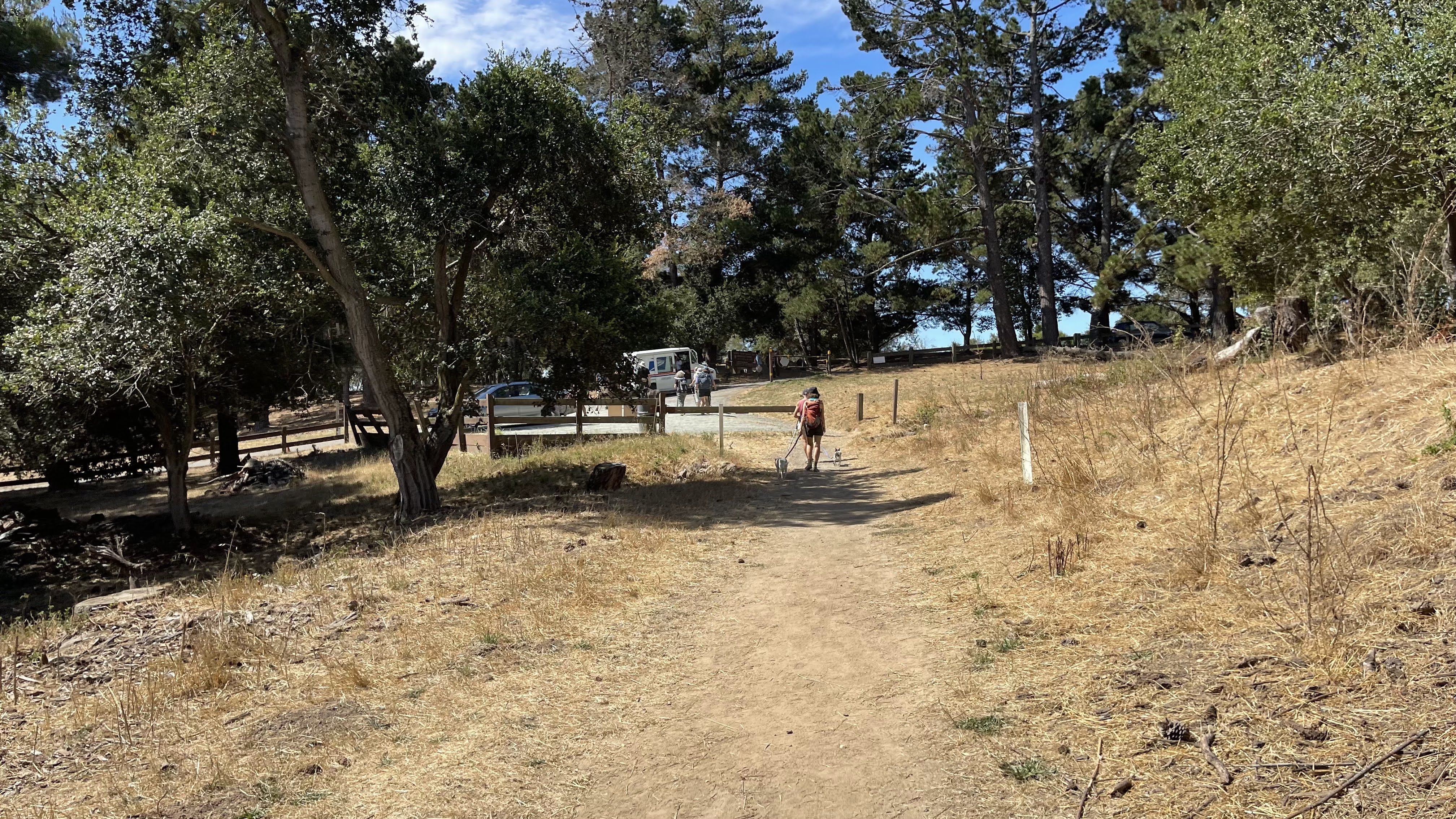
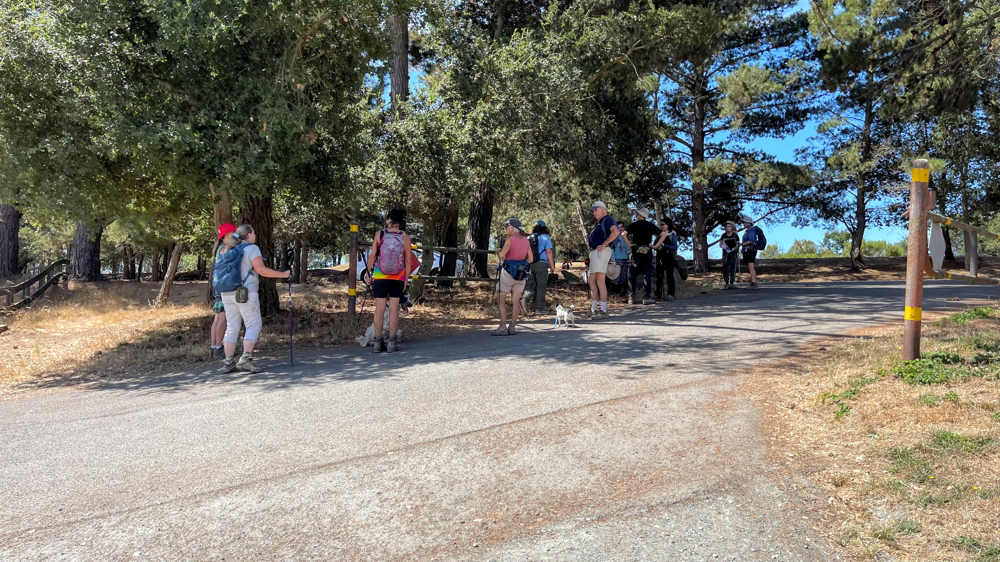
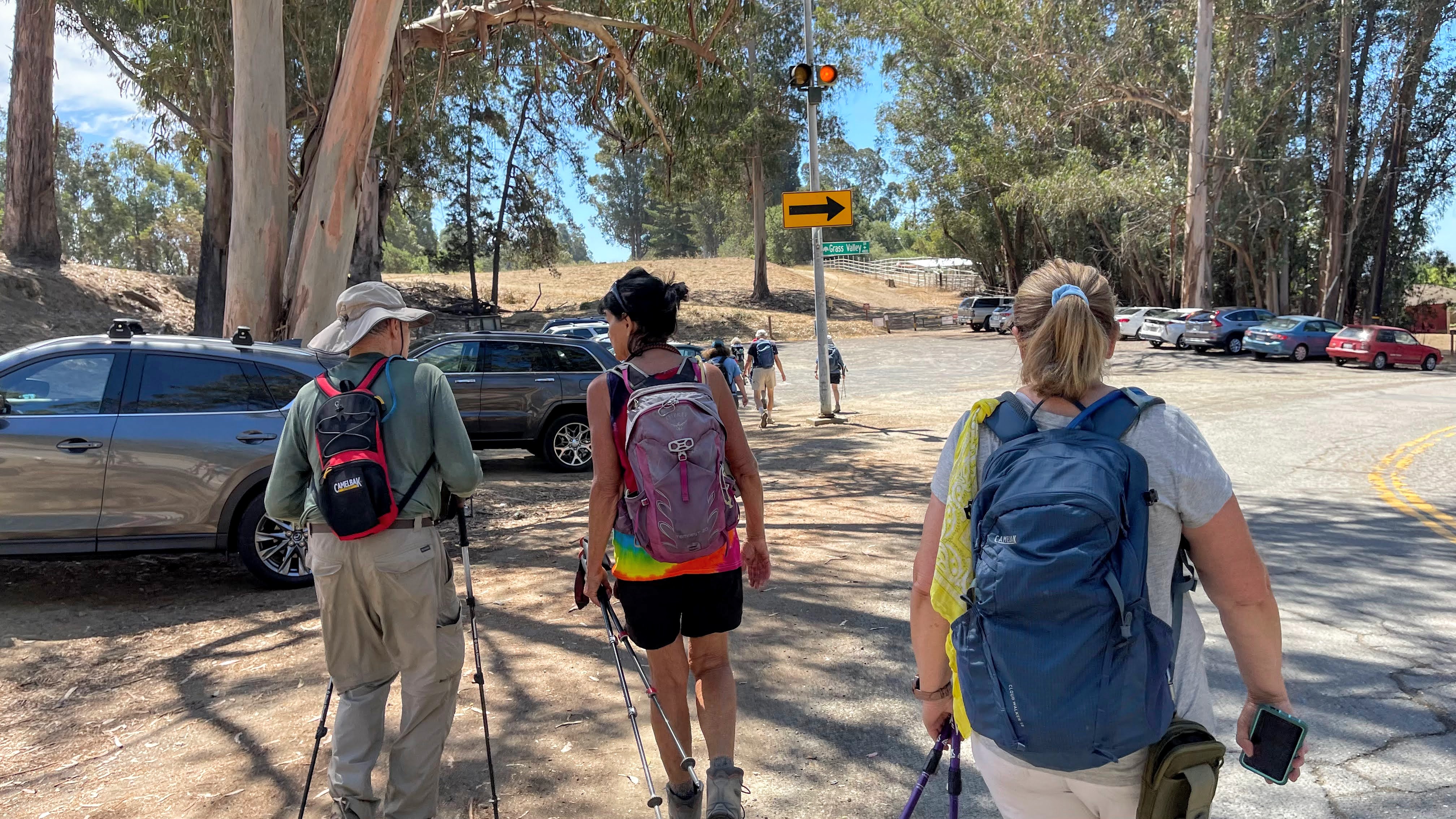
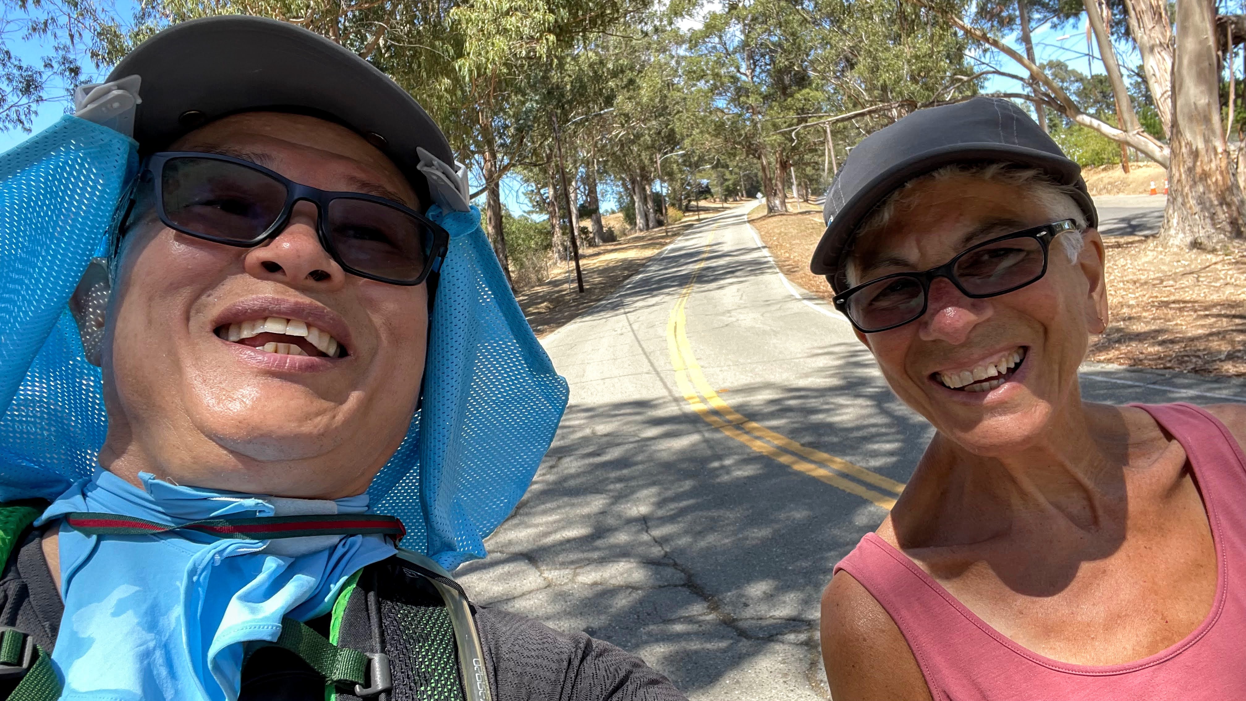
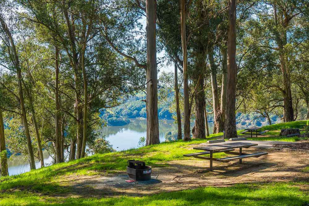
Thie trails found in these hills are definitely not stroller friendly (I’ve seen people trying it but I never would) and if you’re feeling really adventurous you can get all the way to Lake Chabot (I’ve never done it and don’t suggest it if you have littles). If you decide to walk the path towards Lake Chabot, cross through the parking lot and walk behind the houses. Walking along this bumpy dirt path you’ll meet up with the horses, birds, squirrels, bugs, dogs going on walks (most are off leash), and other adventurers. There’s some hilly parts and areas with steep drop offs just right next to the path. There’s spots of shade to take breaks but it’s mostly sunny. Early in the walk there is a nice picnic table under a tree.
.
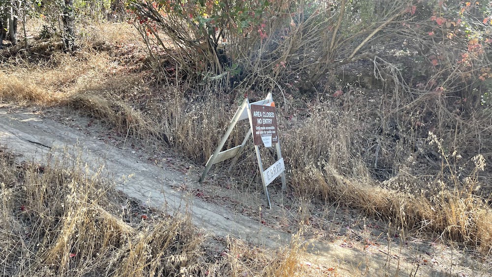
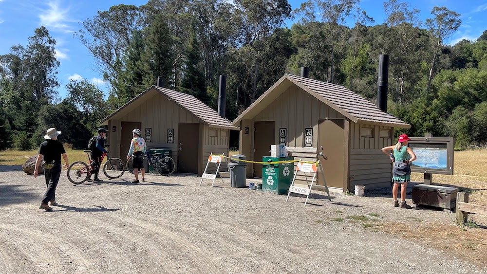
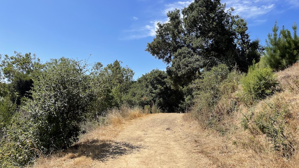
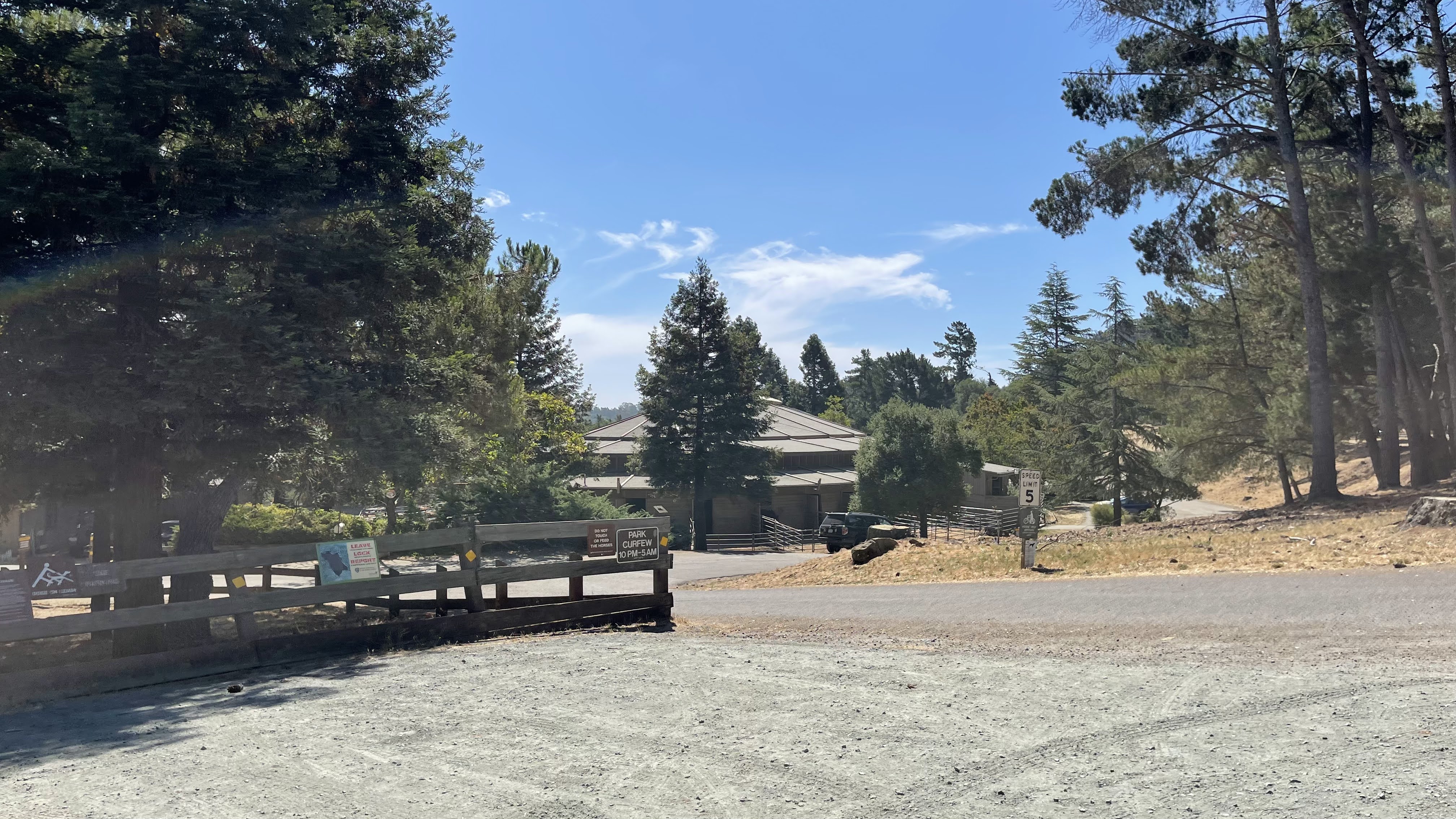
If you go to the left of the parking lot (along Skyline) there’s a few other trails that are much hillier (and more shaded) and a bit more rigorous. There aren’t many options on the tail for breaks and watch where you step because there’s A LOT of poison oak. Which ever way you go, remember, it doesn’t loop so however far you go out you’ll have to walk back.Small parking lot, If the lot is full, parking along Skyline is an option. No bathrooms. Directions: Instead of turning right to go to the zoo, head straight and go up Golf Links then veer left onto Grass Valley. Before it turns into Skyline you’ll see a small parking area
.
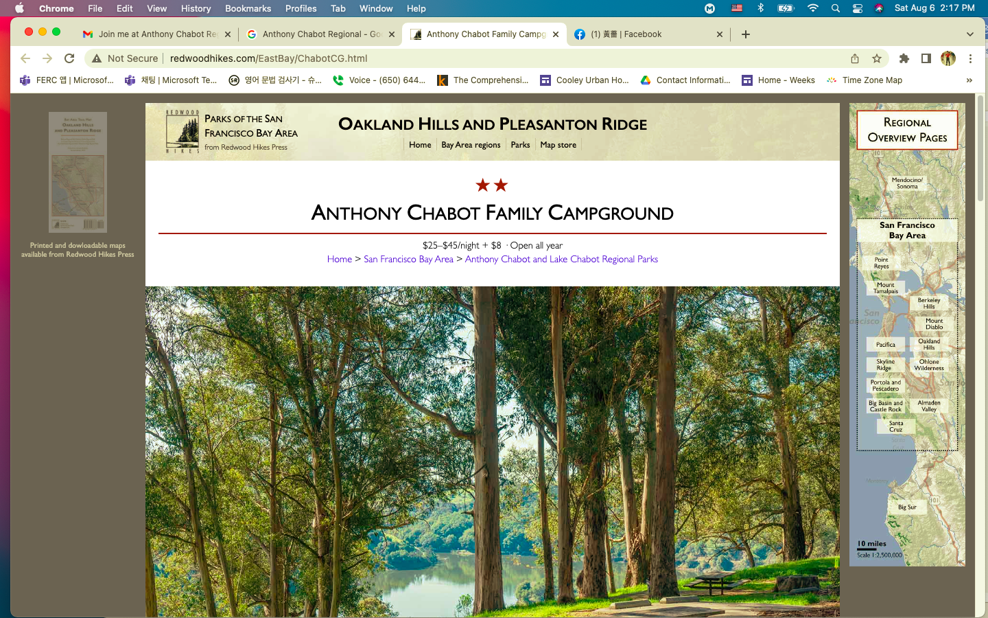
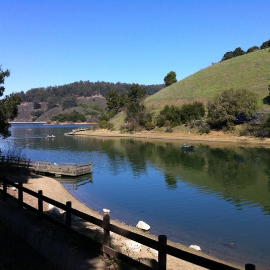
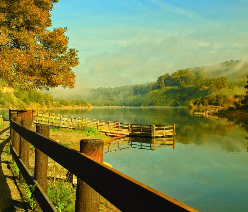
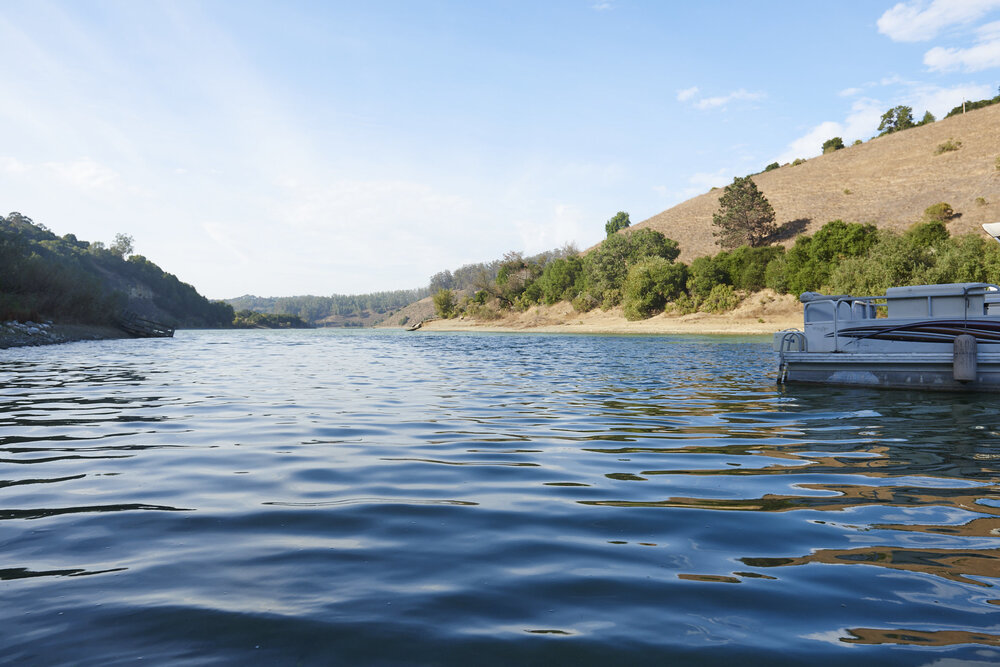
Lake Chabot
.
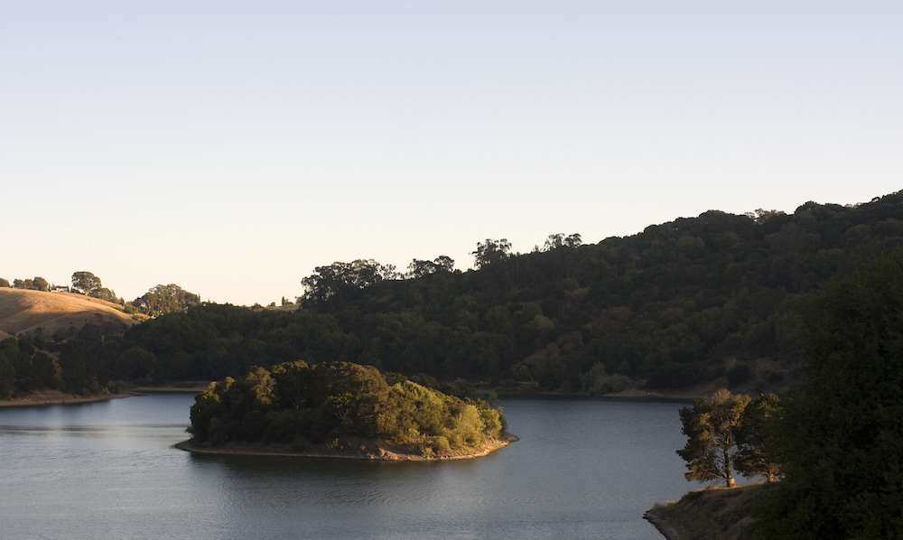
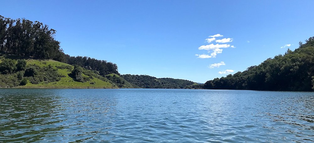
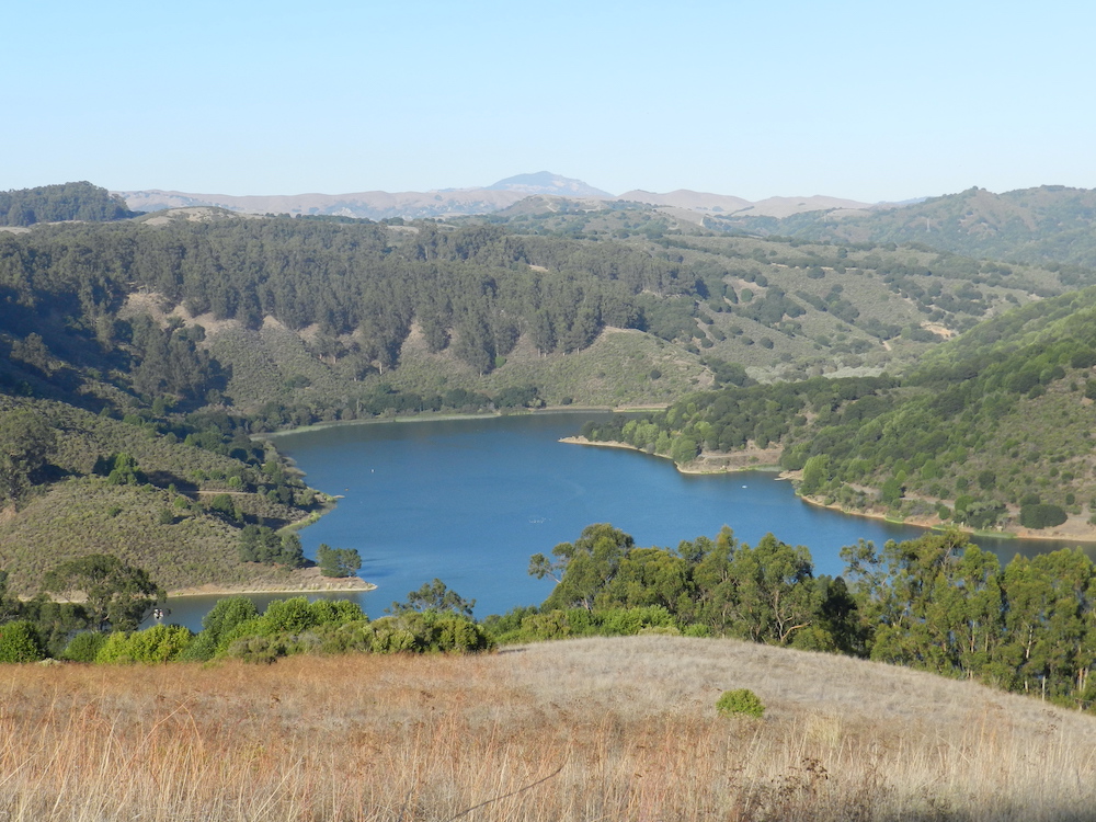
Lake Chabot is a man-made lake covering 317 acres (1.3 km2) in Alameda County, California, United States. Part of the lake lies within Oakland city limits, but most of it lies in unincorporated Castro Valley, just east of San Leandro. It was formed by the damming of San Leandro Creek. The lake was completed in 1875 to serve as a primary source of water for the East Bay. The California Office of Environmental Health Hazard Assessment (OEHHA) has developed a safe eating advisory for Lake Chabot based on levels of mercury found in fish caught here.
.
+++
忍齋 黃薔 李相遠님 - 노란장미의 사는 이야기 그리고 80518


반응형
'이야기' 카테고리의 다른 글
| 102. Ruth Lake, Rohner Park Trails, City of Fortuna, City of Ferndale, CA (0) | 2022.08.20 |
|---|---|
| 100. San Francisco to Marin Headlands Hiking (0) | 2022.08.15 |
| 031. 지그문트 프로이트, 꿈의 해석 (0) | 2022.08.04 |
| 98. ANGEL ISLAND, SAN FRANCISCO, CALIFORNIA (0) | 2022.07.31 |
| 97. MARIN DIAZ RIDGE, GOLDEN GATE NATIONAL RECREATION AREA (0) | 2022.07.25 |


